Technology
International Geospatial Briefing March 28th: 1. Ukraine War Called ‘Catalyst’ for Space-Based Remote Sensing Industry 2. International Sea Level Satellite Takes Over From Predecessor 3. Nvidia launched a mapping product for the autonomous vehicle industry 4. Infotech Partners with Cultivate Geospatial Solutions 5. Nasa Urged to extend life of key climate sensor that maps world’s forests
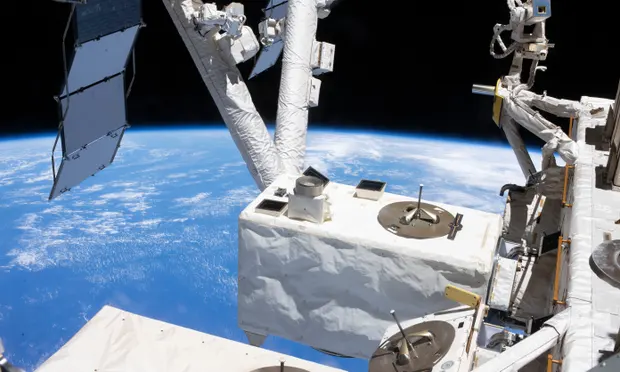
Ukraine War Called ‘Catalyst’ for Space-Based Remote Sensing Industry The war in Ukraine is bringing remote sensing technology to the…
Past, Present and Future of Marine Navigation
I have often wondered how marine navigation works on a roadless map of open seas and oceans. Let’s dive into…
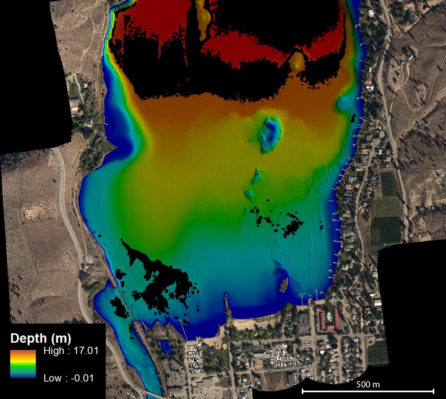
NV5 Geospatial Helps Okanagan Basin Water Board Protect Important Local Communities Through Near-Shore Topobathymetric Lidar Survey
The Okanagan Valley in British Columbia is one of Western Canada’s most attractive tourist destinations, with local communities offering a…
Meet the Stats Guy
Geographer Simon Kuestenmacher is a researcher, writer, and presenter on matters of demographics, economics, and curator of fascinating maps… There…
Canadian Geospatial Briefing March 21st: 1. Developing a subsurface digital twin for Canada. 2. Putting Indigenous knowledge on the map. 3. Mapping all flood prone areas in the Yukon. 4. Environmental impact of trucker protest. 5. Using AI to measure urban sprawl in Canada.
The Virtual Subsurface Utility Mapping Strategy Forum Conference 2022 presents a panel on developing a subsurface digital twin for Canada…
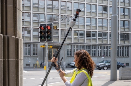
AutoPole – Tilt, Height, and Target Identification
An innovative prism pole, the first of its kind, addresses three troublesome sources of error for robotic total station operation.…
Ukraine at War: Impacts of Geomatics, Geospatial & Earth Observation Technologies
Russia’s invasion of Ukraine on February 24, 2022, sent shockwaves through the global community. As tension escalated in the months…
International Geospatial Briefing March 14th: 1. Amazon Heading Towards “Tipping Point” 2. Rising Geospatial Stars of 2022 3. New Software from Locana for Mobile Workers 4. Enabling Clarity in the Face of Disaster 5. Ukraine: Geospatial Stories from the War
Satellite Imagery Shows Amazon Rainforest Heading Towards Tipping Point New research in the Amazon rainforest shows the alarming rate of…
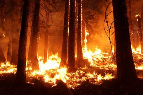
Sparkgeo uses geospatial technology to analyze water hazards caused by BC wildfires
Western Canadian wildfire season is quickly approaching. The increase in wildfire season length, wildfire frequency, and burned area makes it…
Canadian Geospatial Briefing March 7th: 1. MDA to Build 17 satellites to Enhance Globalstar’s LEO Constellation. 2. DDC’s new management. 3. DDC’s update on Canary drone testing. 4. Need for RADARSAT in disasters. 5. Cape Breton Highlands image looks like a kitty.
MDA to Build 17 Satellites to Enhance Globalstar’s LEO Constellation According to MDA’s announcement on Feb 24th, this company is…
10 Canadian Organizations Using High-Accuracy GNSS for Mobile Mapping
High-accuracy mobile mapping with external GNSS receivers is becoming more of a requirement across industries. In the following article, we…
International Geospatial Briefing Feb. 28th: 1. Indian government starts work on mapping villages. 2. Scottish space sector charts path to a sustainable future. 3. Five ways AI is saving wildlife. 4. Satellite images show military movements by Russia. 5. Underground Railroad secrets revealed with drones, lasers and radar. 6. NASA ‘NACHOS’ Instrument May Help Predict Volcanic Eruptions.
Indian Government starts work on mapping villages The Indian government is using geospatial technology and drones to map six lakh…


