
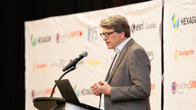
In this keynote address for GeoIgnite 2025 in Ottawa, Alexander Verbeek reflected on the escalating climate emergency and the transformative role of geospatial innovation. Drawing on recent examples from Canada, the Netherlands, and global collaborations, Verbeek emphasized the urgent need to rethink how we see, manage, and respond to our changing environment.
Verbeek, who is the Founder of the Institute for Planetary Security, and Policy Director at the Environment & Development Resource Centre, highlighted the rising frequency of wildfires, floods, and environmental displacement, noting that while these crises are intensifying, they are also accelerating the development of smarter, data-driven solutions.
“We can now model entire cities as digital twins — simulate climate adaptation before implementation. This is not just innovation. It’s foresight.”
From Crisis to Collaboration
Over the past few years, the pandemic revealed a sobering vulnerability in our infrastructures. But it also highlighted a new path forward. One grounded in resilience and powered by knowledge. Across the globe, cities are leveraging digital twins, virtual replicas of physical systems such as energy grids and underground water networks, to visualize risk and test interventions before disasters strike.
Verbeek spotlighted projects in Kampala, Amsterdam, and Portmore where these tools are already helping communities prepare for climate change. In Canada and the Netherlands, joint workshops and bilateral projects are advancing this new era of environmental intelligence, making the invisible visible to manage risk, conserve ecosystems, and support adaptation.
Why Canada Matters
Canada plays a unique role in this global movement. Home to 100% of the world’s permafrost, vast freshwater reserves, and some of the planet’s most expansive forests, Canada holds both the privilege and the responsibility to lead through innovation.
In 2023, the country faced record-breaking wildfires and floods that displaced thousands. But these crises became catalysts. Canada now uses AI, satellite imagery, and Indigenous knowledge to revolutionize climate response, through precision agriculture, wildfire prediction systems, and real-time forest monitoring.
“Canada isn’t just exporting maple syrup anymore. It’s exporting environmental solutions — from AI-enabled farming to satellite-supported forest management.”
Geospatial Tools: Where Innovation Meets Urgency
At the heart of these solutions are geospatial technologies, the quiet engines behind climate forecasting, emergency planning, and conservation modeling. Programs like the Human-Natural Informed Decision Network accelerate land-use decisions using machine learning. Satellite missions such as TROPOMI, a Dutch-Canadian collaboration, track air pollution globally in near real-time.
This is more than technological progress. It’s a moral imperative. As environmental conditions become more unpredictable, we need the power to forecast, adapt, and act before harm is done.
“This is environmental intelligence — where AI, ground sensors, historical data, and Indigenous knowledge converge to predict and prevent disaster.”
The Real Obstacle: Governance, Not Technology
Despite all this progress, Verbeek warned that the main barrier is not innovation. it’s governance. Since the 1990s, political structures have failed to match the pace of scientific advancement. Fragmented commitments, short-term politics, and weak international coordination have hindered meaningful action.
“The tools previous generations could only dream of are in your hands. What we lack is bold governance and the will to use them wisely.”
He reminded the audience of Carl Sagan’s Pale Blue Dot, a symbol of our planet’s fragility. As environmental challenges multiply, we must act with intention, and with global cooperation at the forefront.
A Call to the Next Generation
Verbeek closed with a challenge and a call to action, not just to policymakers, but to students, researchers, and future leaders. Whether in climate science, urban planning, Indigenous governance, or data visualization, the future lies in the hands of those who understand both the technology and the responsibility it demands.
“This is your moment. You have the tech. You have the talent. What we need now is leadership—across jurisdictions, communities, and generations.”
We stand at a crossroads between crisis and creativity. With the right mix of geospatial intelligence, equity, and courage, we can chart a smarter, safer, and more sustainable future. The tools are here. The knowledge is growing. Now it’s time to act.


Be the first to comment