
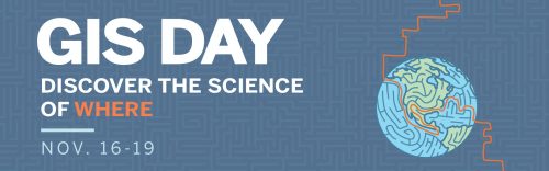
Western is leading a group of Ontario universities this year with free online events open to the public for GIS day. Taking place over 4 days a variety of presentation topics, webinar links, and activities will take place of interest to everyone in the geospatial community. GoGeomatics Canada is proud to be supporting this initiative.
Tune-in to talk presentations, demonstrations, and tutorials like:
- The Geography of Pokémon Go
- How a Kiwi surveyor ends up doing GIS in Scotland
- GIS & Libraries
- How to find your first Geospatial Job
- Mapping Canadian Tornadoes
- Application of GIS in Astronomy
- Historic GIS presented by the Huron Community History Centre
I am excited to be participating as a presenter and will cover topics on geospatial careers and finding your first “Geo” job.
It’s your chance to:
- Discover how to take advantage of mapping technology in your research, education, or for your next job interview
- Check out the latest GIS projects and research
- Draw for one of our digital door prizes
- Join one of the networking sessions or the virtual trivia evening


Be the first to comment