
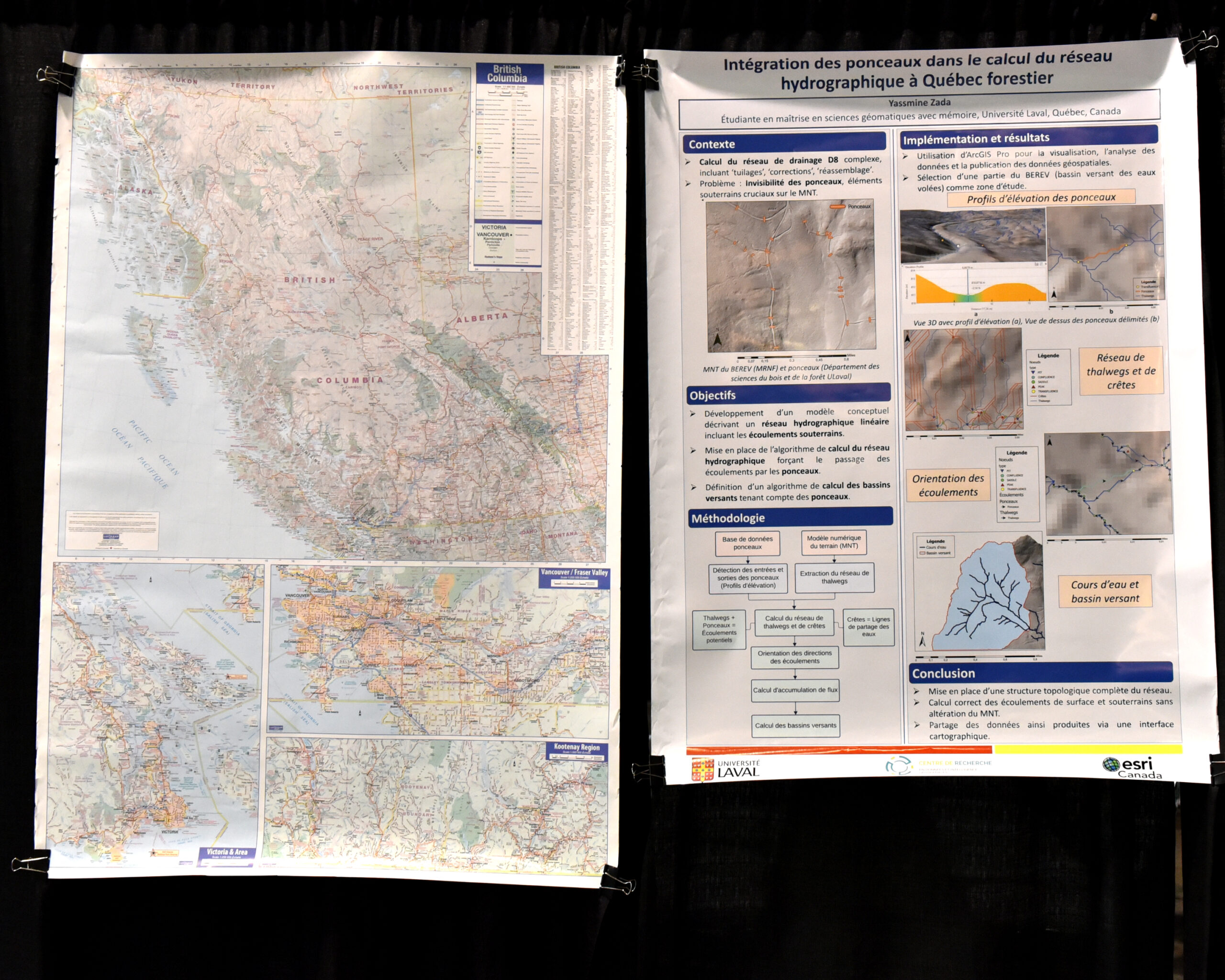
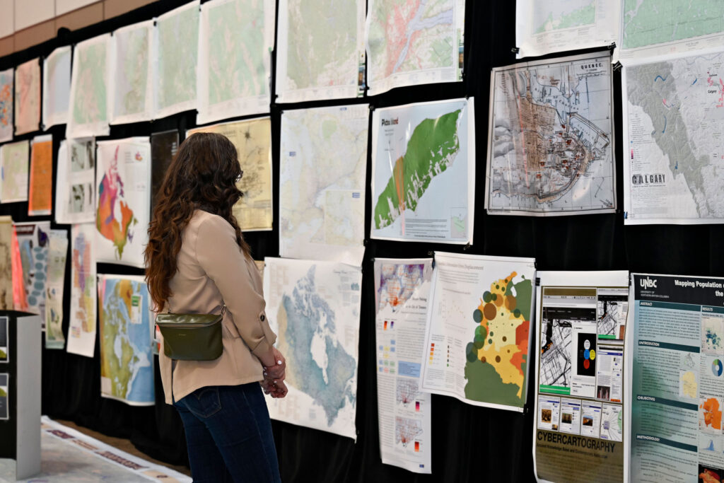
The Canada Maps & Poster Gallery returns to GeoIgnite 2026 in Ottawa, building on the strong response and visual impact of previous editions in Calgary, Ottawa, and Vancouver. What began in 2024 has quickly become a distinctive part of GoGeomatics events: a physical, walk through showcase of the maps, visualizations, and spatial storytelling shaping Canada today. This is not a contest!
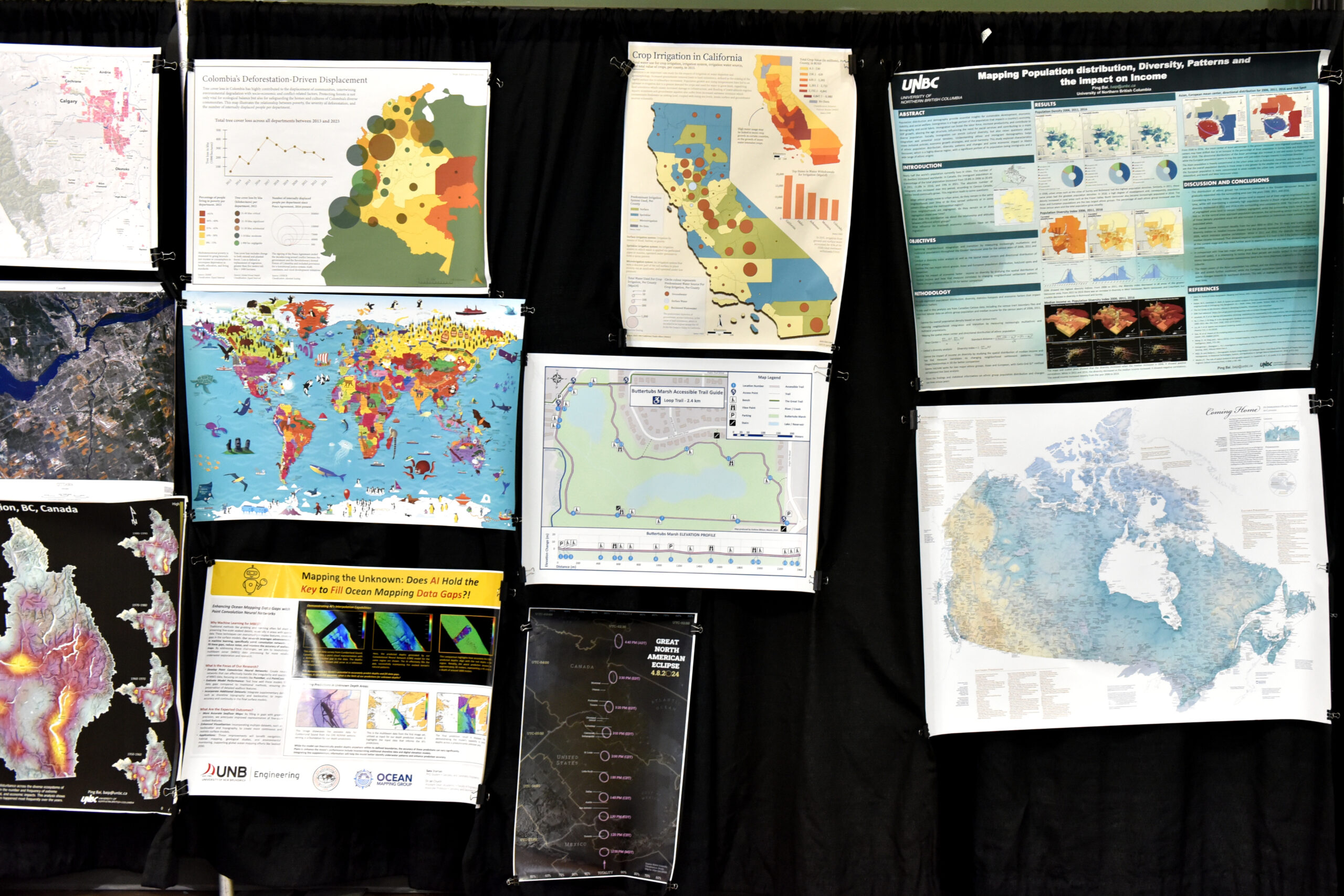
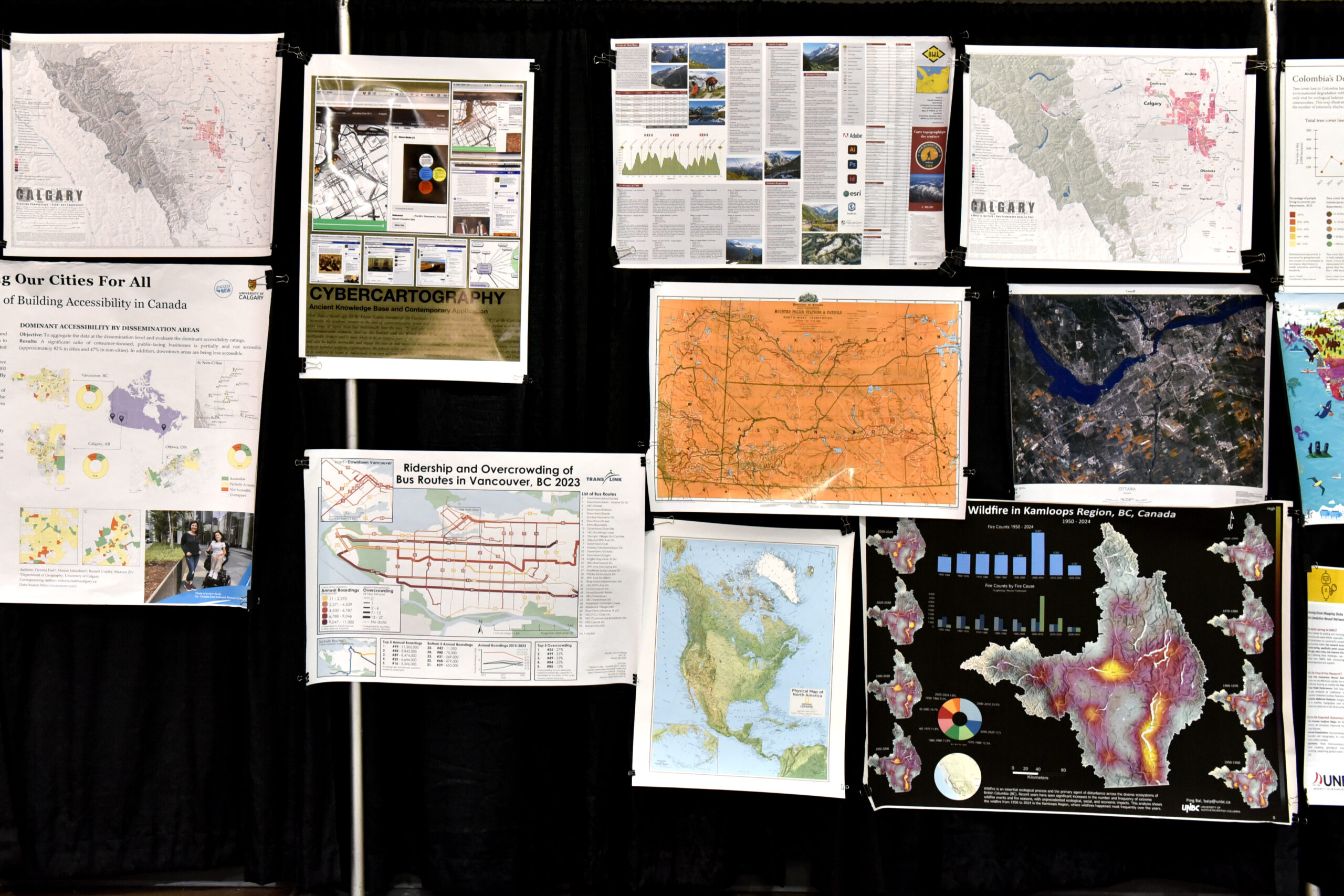
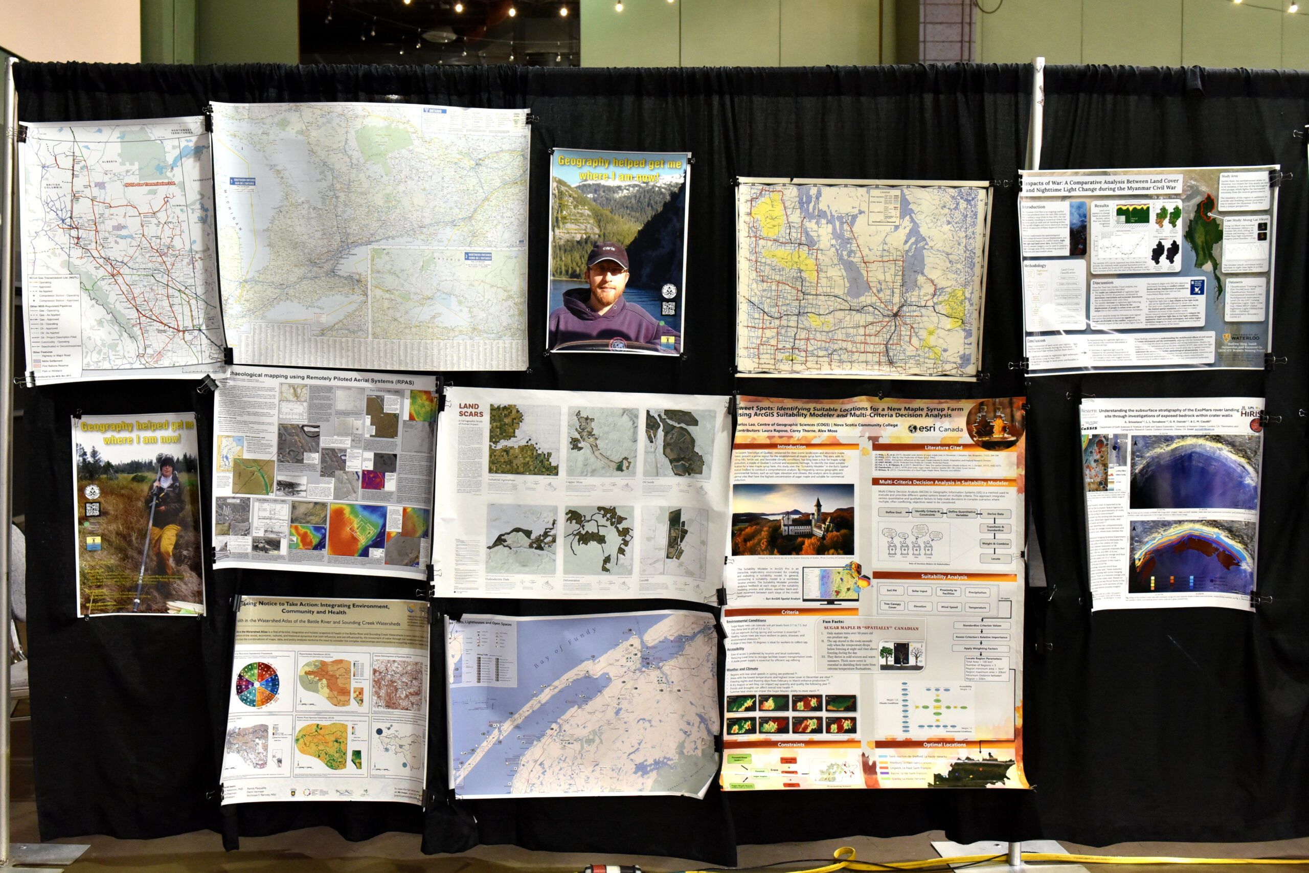
The gallery invites organizations, agencies, research teams, companies, Indigenous communities, and academic institutions from across the country to share maps and visual work that demonstrate real achievement and craft. Showcase your cartographic and design skills. Infrastructure projects, environmental monitoring, defence applications, health research, municipal systems, space based programs, and community planning efforts are presented side by side. This is a national platform for teams to share their work and achievements.
What Could You Submit?
If you are wondering what qualifies as a map or poster, start with work your team is already proud of.
It could be the equivalent of showing how you solved a problem for a client. It could document a successful project where mapping, cartography, spatial analysis, modelling, or technical drawings played a central role.
Examples include:
• A project that helped a client make a better infrastructure or planning decision
• A map that supported environmental monitoring, risk assessment, or resilience planning
• A defence, Arctic, or space related visualization
• A municipal asset management or transportation mapping initiative
• A health or demographic analysis that informed public sector planning
• A research project that translated complex spatial analysis into clear visuals
• A digital twin, BIM, or engineering drawing with a strong geographic component
• A before and after comparison demonstrating measurable impact
The work does not need to be experimental or academic. It needs to be clear, professional, and representative of meaningful outcomes.
If your team used mapping, cartography, spatial data, or drawings to help solve a real problem, communicate insight, or deliver value, it likely belongs in the gallery.
A National Volunteer Effort
The gallery is supported by a volunteer outreach team working alongside Jonathan Murphy as program lead:
• Poonam Jusrut is an Ottawa based geographer with training in geospatial data analytics, supporting engagement with industry and enterprise partners.
• Diego Álvarez Soto is an Ottawa based geographer and GIS specialist with experience in environmental cartography and public sector outreach.
• Andrea Santoso-Pardi is a GIS and spatial data analyst with experience across public sector and health research environments, specializing in ArcGIS, spatial analysis, and workflow automation.
• Zachary Steeves is a geospatial professional focused on strengthening connections with government and education institutions nationwide.
How It Works
Participants print and ship a physical map or poster for display at the conference. Submissions must reflect original work and meet professional presentation standards. Product marketing brochures, sales flyers, or promotional materials will not be accepted. Political advocacy materials and off topic content will not be displayed. Oversized or special format pieces must be declared in advance. There is no fee to participate. Materials must arrive no later than May 7. To ensure timely delivery, we strongly recommend shipping by April 30. Send your maps and posters to the following address: C/O Jonathan Murphy, GoGeomatics Canada, PO BOX #421 – 207 Bank Street, Ottawa, Ontario K2P 2N2, Canada. Please clearly print the contributor’s contact name, phone number, and email address on the outside of the package.
Why It Matters
GeoIgnite is Canada’s national geospatial conference. The gallery strengthens the conference environment by placing the work itself at the centre of the experience. It reinforces pride in geospatial craft. It sparks meaningful conversations across sectors. It celebrates the geography of Canada and the people shaping it.
Participate
If you or your organization would like to participate in the Canada Maps & Poster Gallery at GeoIgnite 2026, or would like to learn more before submitting, please contact us at [email protected]


Be the first to comment