africa
Predicting the Future of the GIS in Canada
Editors note: This article has been jointly written by Bruce McCormack and Gordon Plunkett. Bios can be found at the…
Canadian Cartography: GoGeomatics Edmonton Visits the University of Alberta Map Library & Collections
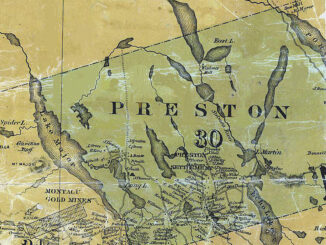
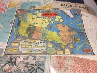
Last night the Edmonton GoGeomatics Group had the chance to explore the amazing collection of historic maps at the University…
Volunteer & Map Canada: Statistics Canada Crowdsourcing Pilot Project
Statistics Canada has launched a new pilot project using OpenStreetmap. For many Canadians outside of the geomatics community this is…
50 Years a Geographer: My Top Ten books about Geography
In celebration of Geography Week, it seemed like a good idea to issue a challenge: list the top ten books…
#GISTRIBE Hashtag: The GIS Twitter Community
GoGeomatics recently had the opportunity to chat with Emily Garding, the founder of #GISTRIBE. Emily is a Wildlife Biologist who…
GoGeomatics Goes to East Africa: New Markets for Canadian Technologies
Jambo from Nairobi, Kenya! I, Jon Murphy – GoGeomatic’s intrepid Managing Director, am in Kenya having a look…
A Refreshing Approach to Geomatics
The conference committee of the GIM International Summit has announced a refreshing list of inspiring and original speakers who will…
PlanetSAT 15 L8: the new up-to-date, homogeneous and natural colour imagery base map with 15-meter resolution.
The French company PlanetObserver, specialized in imagery base map production for more than 25 years, announced the coverage of more…
Establishment of the South African Geomatics Council
Issued by the office of the President South Africa July 29th 2015 President Jacob Zuma has, in terms of section…
Canada Day Came Early at the Canada Aviation and Space Museum
June 23rd marked a special day in the history of aviation and space in Canada. A very special aircraft, a…
DigitalGlobe Produces the World’s First Complete and Consistent High Resolution Satellite Imagery Base Map of Africa
Apr. 28, 2015– DigitalGlobe, Inc. (NYSE: DGI), a leading global provider of high-resolution earth imagery and geospatial solutions, today announced…
PCI Geomatics signs Strategic Education Alliance Agreement with Stellenbosch University
MARKHAM, Ontario, Canada – PCI Geomatics, a world leading developer of remote sensing and photogrammetric software and systems, announced today…