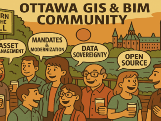
Community
International Geospatial Digest – August 11, 2025
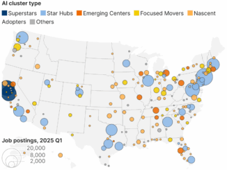
Supporting Informed Decisions with Spatial Tools in West Africa Using BIM to Preserve Ancient Timber Buildings Critical US Data for Hurricanes, Ice Monitoring will Remain Available Mapping the AI Data Centres in the World’s Driest […]