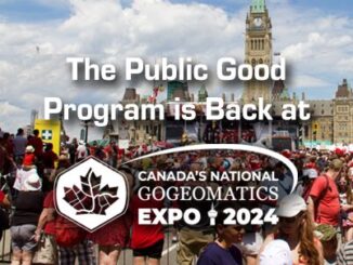
alberta
Canadian Geospatial Digest August 21, 2023
BC First Nations adopts indigenous names for Protected Areas Maps Canada’s National Cycling Map City of Ottawa 3D geospatial endeavors…
Spatial Technologies Exhibiting at the Calgary GoGeomatic Expo
GoGeomatics welcomes Spatial Technologies to the Expo. Spatial Technologies was founded in 2002 and is staffed by trained and…
3-D Line Locating joins the GoGeomatics Expo
GoGeomatics Expo Welcomes: 3-D Line Locating, Your Damage Prevention Specialists. 3-D Line Locating has been providing Industry-advanced Damage Prevention services throughout…
Ten Years Later: Interview with Wendy MacIsaac one of Canada’s Top Surveyors
Ten years ago, GoGeomatics interviewed Wendy MacIsaac of Midwest Surveys Inc. in Calgary, Alberta, about her career and being a…
The Calgary Surveying and Geomatics Educators Society (SaGES) Calls for Abstracts and Papers for 28th Biennial Conference
The Surveying and Geomatics Educators Society (SaGES) is issuing a call for abstracts and papers for their 2023 conference to…
2022 Back to School Socials in Pictures – Thank you Sponsors & Participants!
The 7th annual GoGeomatics 2022 Back to School Socials have been a tremendous success. Our groups and group leaders across…
Canadian Geospatial Digest for August 15, 2022
Apple Maps is Coming to Your City this Summer, Satellites show World’s Largest Beaver Dam, Who lives in Canada’s Hottest…
Canadian Geospatial Digest for August 1, 2022
Endangered BC Heritage Site Digitally Preserved by University Professors Edelweiss Village, a heritage site in British Columbia (BC), is the…
Canadian Geospatial Briefing July 4th: 1. Carbon soil mapping 2. MDA and NGO for combating illegal fishing 3. Indigenous mapping workshop 4. Deadly Skin Cancer map 5. Mapping Bicyclists’ Greatest Dangers
Carbon soil mapping project aims to help beef producers trap carbon, fight climate change “Our grassland soils hold large amounts…
Geomatics Engineering at UCalgary: Join a global leading program in education and research
Introduction Housed within the Schulich School of Engineering at the University of Calgary, the Department of Geomatics Engineering is one…
Canadian Geospatial Briefing Feb. 21st: 1. Interactive tool for avalanche risk. 2. Using drones to reforest. 3. Global glacier retreat measured. 4. Drone imitating the peregrine falcon. 5. Communities growing and shrinking in Alberta. 6. Wyvern receives funding for hyperspectral imaging.
Avalanche Canada issues special warning for B.C. and Alberta Avalanche Canada and Parks Canada had issued an advisory for many…
How will open-pit coal mining affect resident elk populations in Alberta?
The front ranges in southwest Alberta, colloquially referred to as the Eastern Slopes, have been garnering significant attention lately. What began…