Newsmakers & Press Releases
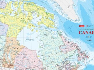
Fully funded MSc project for pre-European settlement forest inventory: Dept of Geography, Planning and Environment Concordia University, Montreal
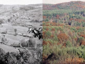
Concordia is looking for a highly motivated and research driven student with background in forestry, ecology, environmental geography or a related field for a MSc project. The project will be to compile a pre-European settlement […]