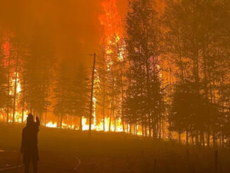
Earth Observation
Earth Observation, Data Access, and Domestic Capacity: Inside CSA’s 2025–26 Plan
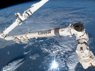
The Canadian Space Agency’s latest spending plan maintains steady funding across its core responsibilities, from satellite operations and space science to robotics and international programs. Within that broader mandate, the plan highlights ongoing investment in […]