carleton university
The Enduring Legacy of Carleton’s Geomatics and Cartography Research Centre
Like everywhere else, there has been a major transition from paper to digital. This transition has been a driver for…
BIM and Digital Twin Digest for October 6, 2022
Name Change for UK BIM Alliance,Tekla Global BIM Awards 2022 Winners Announced,Memory of Geoff Zeiss Lives on in Urban Infrastructure…
Geoff Zeiss’ Memory Lives on in Urban Infrastructure Mapping Fund | Carleton FutureFunder
For over 30 years, Geoff Zeiss devoted his life to the Geospatial industry and community all over the world. It…
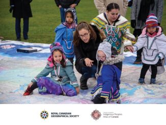
Canadian Geospatial Briefing April 18th: 1. Esri Canada program director’s sudden passing; 2. Kanien’kéha mapping project; 3. Indigenous People’s Atlas of Canada; 4. Vernon floodplain maps; 5. Grassland mapping project
Esri Canada’s Program Director killed in small plane crash on March 21st John Bacon, Program Director in Esri Canada’s Geospatial…
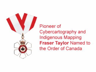
Pioneer of Cybercartography and Indigenous Mapping Fraser Taylor Named to the Order of Canada
World renowned cartographer and Canada’s very own Prof Fraser Taylor has recently been honored with the Order of Canada, the…
Carleton’s Offers Summer Geospatial Training Courses Online
This summer, Carleton University’s Faculty of Arts and Social Sciences and the Department of Geography and Environmental Studies has an exciting…
Canadian Geospatial Briefing May 10th: Developing Tools to Protect Canada’s Biodiversity; Tracking impact of industrial projects on B.C. species at risk; 3D satellite mapping shows that glaciers are melting faster than ever; Geospatial Maturity Index shows that Calgary is a leader in GIS programs; Community engagement to measure impact of climate change on coastal environments in the Estuary and Gulf of St Lawrence; Surprising locations in Canada that have seen the largest increase in house prices
Carleton and Partners Developing Tools to Protect Canada’s Biodiversity Dr. Joseph Bennett, a biology professor at Carleton University and his…
2019-2020 Back to School Socials in Pictures – Thank you Sponsors & Participants!
The 6th annual GoGeomatics 2019 Back to School Socials have been a tremendous success. After coming off the success of…
In Rome: Bridging the Gap Between Archaeology and Geostatistics
Canadian Alan Armstrong returns us to Rome for this next article in his series on archaeology and GIS. It’s been…
A summary of the 2017 Conference of the Canadian Cartographic Association: “150 Years of Cartography: Past, Present and Future”
The 42nd Annual Conference of the Canadian Cartographic Association was held, May 31st thru June 2nd, at Carleton University. Inspired…
CCA Ottawa Conference: “150 Years of Cartography: Past, Present and Future”
The 42nd Annual Conference of the Canadian Cartographic Association “150 Years of Cartography: Past, Present and Future” Location: Carleton University,…
The Integrated Cadastral Information (ICI) Society and ParcelMap BC
This is the first of two articles on the release of ParcelMap BC Data, which we see as a significant…