Technology
International Geospatial Briefing March 28th: 1. Ukraine War Called ‘Catalyst’ for Space-Based Remote Sensing Industry 2. International Sea Level Satellite Takes Over From Predecessor 3. Nvidia launched a mapping product for the autonomous vehicle industry 4. Infotech Partners with Cultivate Geospatial Solutions 5. Nasa Urged to extend life of key climate sensor that maps world’s forests
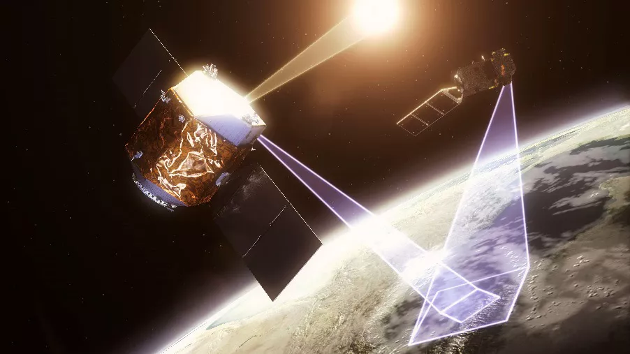
Ukraine War Called ‘Catalyst’ for Space-Based Remote Sensing Industry The war in Ukraine is bringing remote sensing technology to the forefront, leaders in the field said recently. The public is seeing images of convoys, shelled […]