development
High Resolution Mapping Along the Coastal Zone: CIG & GANS Workshop 7 – 8 February 2017
The Geomatics Association of Nova Scotia (GANS) and the Canadian Institute of Geomatics (CIG) Nova Scotia Chapter would like to…
Predicting the Future of the GIS in Canada
Editors note: This article has been jointly written by Bruce McCormack and Gordon Plunkett. Bios can be found at the…
A Tale of Two Communities
After the Atlantic Canadian Association of Geographers (CAG) workshop: Geography Education (previous blog: http://wp.me/p2586i-4xP), I have a renewed enthusiasm for…
Geospatial Development: Enhancing GIS curricula with programming skills at UNB
Geospatial information science and technology (GIS&T) has rapidly evolved over the last few decades. This evolution has created a highly…
Easy Access to Data: The CGDI Initiative
The Canadian Geospatial Data Infrastructure (CGDI) is an initiative of Natural Resources Canada that began in 2001. The CGDI does…
CCRS in Ottawa: Big Geospatial Data Analytics Workshop
Almost a year ago a needs & requirement assessment was conducted to gather information on the potential development of a…
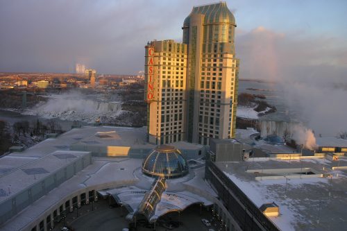
Altus Geomatics’ Contributions to Fallsview Construction Helped to Create World-Class Canadian Casino
When construction began on Niagara Fallsview Casino Resort in 2001, the spectacular natural surroundings belied a particularly difficult problem for…
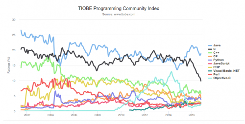
What are the Top Programming Languages in the GIS World?
Image source: www.tiobe.com Every now and again we hear about the importance of programming for Geographic Information Systems(GIS) professionals, that…
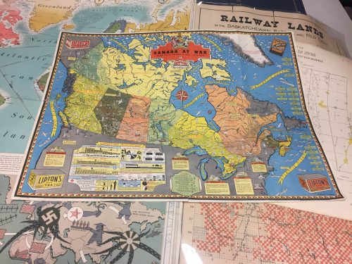
Canadian Cartography: GoGeomatics Edmonton Visits the University of Alberta Map Library & Collections
Last night the Edmonton GoGeomatics Group had the chance to explore the amazing collection of historic maps at the University…
MDA to deliver space-based SAR for broad-area maritime surveillance
Vancouver, BC – MacDonald, Dettwiler and Associates Ltd. (“MDA” or the “Company”) (TSX: MDA), a global communications and information company,…
Canadian Surveyors “Remark” on History with Elk Pass Boundary Restoration Survey
The Alberta-British Columbia Boundary Commission has just completed a monument restoration survey to restore a number of deteriorated provincial boundary…
DigitalGlobe’s Basemap Suite Expands: 250 Million Square Kilometers of 30 cm Imagery
DigitalGlobe, Inc. (NYSE: DGI), the global leader in Earth imagery and information about our changing planet, today announced that its…


