BIM & GIS
The Story Beneath the Map
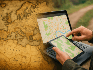
People open maps on their phones every day to check a route, locate a place, or understand what surrounds them. It feels simple, but a long history stands behind that moment. The journey to modern […]
People open maps on their phones every day to check a route, locate a place, or understand what surrounds them. It feels simple, but a long history stands behind that moment. The journey to modern […]
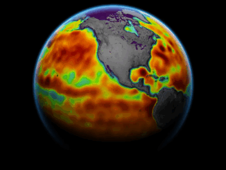
NASA’s SWOT Satellite Reveals the Most Detailed Maps of Earth’s Seafloor Yet Pakistan Enters a New Space Era with the Launch of Its First Hyperspectral Satellite Human Judgment Remains Central in the Era of Geospatial […]

We are pleased to announce that Esri Canada, the nation’s leading provider of geographic information system (GIS) solutions, has joined GoGeomatics Expo 2025 as a Bronze Sponsor. The Expo will take place November 3-5, 2025 […]
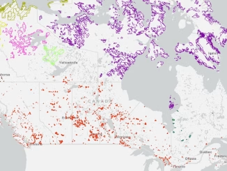
The first time I traveled to Nunavut, I was told the region I was going to was a hamlet called Kugaaruk. Driving through the town with our local guide, I noticed the radio station was […]
The democratization of geospatial technology means that a farm manager in Costa Rica can check the exact moisture levels of every hectare through a simple phone app like CropX or Climate FieldView, predict pest infestations […]

Throughout my career, I’ve encountered many stereotypes about what women supposedly can’t do in engineering and technology. “Women aren’t analytical enough.” “Women can’t handle complex systems.” “Women just don’t think that way.” They are just […]
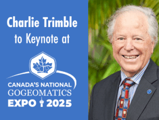
We are excited to announce that Charlie Trimble, founder of Trimble Inc., will be the keynote speaker at Canada’s National Geomatics Expo 2025, taking place from November 3-5, 2025 at the Big Four Roadhouse in […]
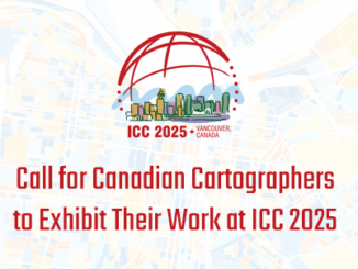
Vancouver, B.C. – The upcoming International Cartographic Conference (ICC 2025) will be hosted in Vancouver August 18–22, 2025. Canada is calling on cartographers and map enthusiasts in the country to submit their best map products […]