Magazine
Power, Land, and Law: The Physical Reality of Canadian Digital Sovereignty
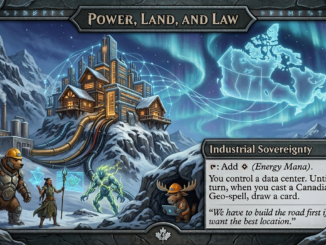
Digital Sovereignty is becoming an increasingly important topic for Canadians. Not only is Canada falling behind by lacking infrastructure and using overseas data centres to house crucial information, but it seems like the rest of […]