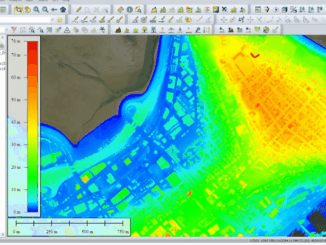
Digital surface model
Significant increase in lidar-derived elevation data coverage
The National Elevation Data Strategy team has increased its production rate. Detailed 3D products now cover 49% more area since…
Canadian Geospatial Digest for October 7th, 2024
An Era Ends with the Retirement of the Canadian Digital Elevation Model (CDEM) State of the Canadian Space Sector 2023…
Detecting Change Becomes Easier Using Point Cloud Data
Blue Marble Geographics Gets Hands On With Change Detection On March 3, 2022, David McKittrick, Outreach and Training Manager for…
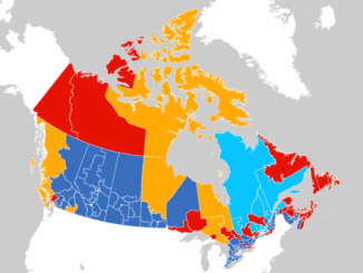
Canadian Geospatial Briefing Sept 20th: Interactive Election Map; MDA awarded with contract for Martian Moons Exploration with Japan Aerospace Exploration Agency; Geomatics Instructor at BCIT uses Drone to Display Elevation Changes at Construction Site; Looking at Foot Traffic in the Downtown Core of Major Canadian Cities Compared to Pre-Pandemic Levels; Apple Maps using Special Backpacks to Gather Data for Look Around Feature
Interactive: How Canadians voted in the past 7 federal elections With the federal elections coming up on September 20th, Esri…