Technology
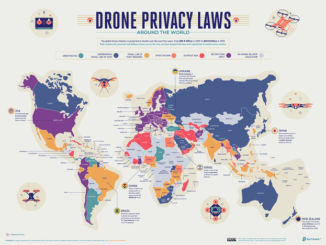
International Geospatial Briefing February 9th – What are we doing about space traffic management?; new urban planning GIS tool to improve urban climate resilience; Drone Privacy Laws; World’s Longest and Deepest Alternating Current Cable Route; Ex-Uber team – Unfolded.ai
What are we doing about space traffic management? As spaceX continues to launch more and more satellites through their ridesharing program, most recently the Falcon-9 launched with 143 satellites and as these jam-packed satellite launches […]

