Newsmakers & Press Releases
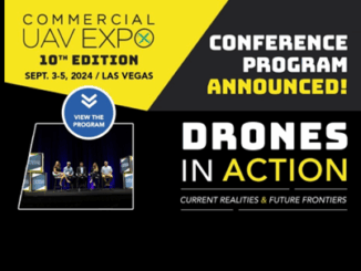
Commercial UAV Expo Announces 2024 Conference Program and Speaker Line-Up with a Renewed Focus on Construction, Energy and Utilities, Infrastructure and Transportation, and Policy.
Sessions will provide solutions and strategies to advance the commercial drone industry. PORTLAND, MAINE – USA, June 4, 2024 – Organizers of Commercial UAV Expo, the world’s leading commercial drone trade show and conference, have […]