Community
International Geospatial Digest March 16, 2026
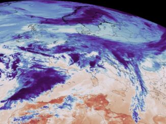
In This Edition AI Agents Could Reshape the Future of Geospatial Analysis China Expands Satellite Partnerships Across Africa Satellite Imagery Helping Speed Recovery in Disaster Zones New Flood Mapping Tool Could Improve Early Warning Systems […]