Technology
Canadian Geospatial Briefing Sept 20th: Interactive Election Map; MDA awarded with contract for Martian Moons Exploration with Japan Aerospace Exploration Agency; Geomatics Instructor at BCIT uses Drone to Display Elevation Changes at Construction Site; Looking at Foot Traffic in the Downtown Core of Major Canadian Cities Compared to Pre-Pandemic Levels; Apple Maps using Special Backpacks to Gather Data for Look Around Feature
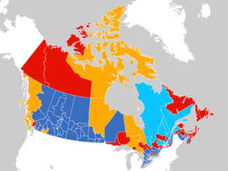
Interactive: How Canadians voted in the past 7 federal elections With the federal elections coming up on September 20th, Esri Canada has created an interactive map that highlights the last seven election results going back […]


