ESA
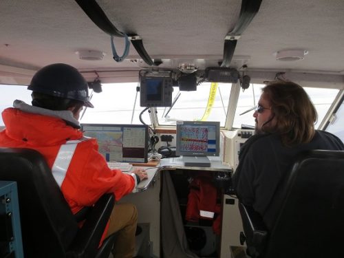
Geomatics: Discovering history in Canada’s Arctic waters
This article was reprinted with permission from the Ontario Professional Surveyor, Volume 56, No. 3, Summer 2015 By Theresa Nicholsi,…
GPS Galileo taking flight: ten satellites now in orbit
Europe’s own satellite navigation system has come a step nearer to completion, with Galileo 9 and 10 which lifted off…
Canada Day Came Early at the Canada Aviation and Space Museum
June 23rd marked a special day in the history of aviation and space in Canada. A very special aircraft, a…
Findings Released from European Space Agency Earth Observation for Oil and Gas Project
Over the past 20 years, oil and gas companies have used satellite earth observation technology through the entire project lifecycle,…
COM DEV secures access to key technology with strategic investment in Anokiwave
CAMBRIDGE, ON, May 12, 2015 /CNW/ – COM DEV International Ltd. (TSX:CDV) today announced that it is making a US$500,000 investment…
PCI Geomatics Releases GXL 2015
PCI Geomatics, a world leading developer of remote sensing and photogrammetric software and systems, announced today the release of its…
Boeing Backs Canadian Satellite Design Challenge
The Canadian Satellite Design Challenge Management Society (CSDCMS) is pleased to announce that it has received a $50,000 funding contribution…
Satellite-Based Earth Observation Market Analysis – Trends and Forecast
Satellite-based Earth Observation (EO) is a process of using remote-sensing technique to gather information on the chemical, physical and biological…
Communications & Power Industries Canada Receives Contract for Earth Observation Mission
GEORGETOWN, Ontario – Communications & Power Industries Canada Inc. (CPI Canada) has been awarded a $3.3 million contract from the…
exactEarth Proud to Join MEOPAR as New Industry Partner
Cambridge, ON – June 24, 2014– exactEarth Ltd., a leading provider of global maritime vessel data, is pleased to announce a…
Esri Pledges $1B in Cloud-Based STEM Software to White House ConnectED Initiative
With Support from Amazon Web Services, Esri to Make Free ArcGIS Online Accounts Available to all Elementary and Secondary Schools…
Do You Know Where Your Kids Are? TeenSafe Announces Mobile Phone Monitoring
TeenSafe, the developer of a new sophisticated iPhone and Android monitoring service for parents of teens and children who are…


