The Story Beneath the Map
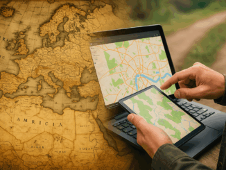
People open maps on their phones every day to check a route, locate a place, or understand what surrounds them. It feels simple, but a long history stands behind that moment. The journey to modern […]

People open maps on their phones every day to check a route, locate a place, or understand what surrounds them. It feels simple, but a long history stands behind that moment. The journey to modern […]

We are pleased to announce that Esri Canada, the nation’s leading provider of geographic information system (GIS) solutions, has joined GoGeomatics Expo 2025 as a Bronze Sponsor. The Expo will take place November 3-5, 2025 […]

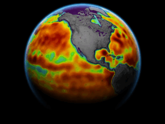
The democratization of geospatial technology means that a farm manager in Costa Rica can check the exact moisture levels of every hectare through a simple phone app like CropX or Climate FieldView, predict pest infestations […]

Vancouver, B.C. – The upcoming International Cartographic Conference (ICC 2025) will be hosted in Vancouver August 18–22, 2025. Canada is calling on cartographers and map enthusiasts in the country to submit their best map products […]

Hello, GoGeomatics community! I’m Farzaneh, and I’m excited to share some key highlights from the Connected Canada event, held on September 17, 2024, for the Federal Government at the Westin Hotel in Ottawa, hosted by […]

David Yarnold has authored many impactful stories, including the Pulitzer Prize-winning report on the 1989 Loma Prieta earthquake. As the President and CEO of the National Audubon Society, he championed environmental stewardship. In this interview, […]

There are people you meet during your life who are an inspiration to you and others. Peggy March is one of those people. Some might know her as RebelGeo on Twitter. Geography is of prime […]

The Geographic Information Systems (GIS) industry has experienced numerous pivotal moments throughout its evolution. Each technological advancement—from the early days of workstations to the widespread adoption of desktop GIS, the integration of enterprise GIS, and […]