geospatial technology

Earth Day

Celebrating Earth Day with Conventional and Unconventional Applications of Geospatial Technology: Part 2

3 Unconventional Earth-friendly Applications of Geospatial Technology After talking about some of the more conventional methods of implementing geospatial technology…

Maxar’s Global Technology Shift from 2D to 3D

Maxar Endeavours to use Space and Earth Intelligence for the future of Geospatial Intelligence “Imagery is the foundation of our…

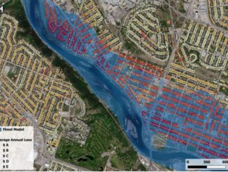
Sparkgeo uses geospatial technology to analyze water hazards caused by BC wildfires

Western Canadian wildfire season is quickly approaching. The increase in wildfire season length, wildfire frequency, and burned area makes it…

Why are they wearing those GPS vests during a football game? — GI-technology in modern-day soccer

Geographic information technology has been used to answer questions of locations. Where are the sewer lines? How close is the…

GeoIgnite 2020 Video: Geospatial data & analytics advance issues critical to Indigenous communities in Canada: David Acco

GeoIgnite is Canada’s national geospatial conference hosted by GoGeomatics Canada. GeoIgnite was held online via Zoom from July 22nd to…

Leadership in Times of Disruption: GeoIgnite 2020 talks at a Glance

Canada’s geospatial community is gathering next week for GeoIgnite 2020. The second annual conference is being held online this year…

GeoIgnite 2020 Track Announcement: Finding the Right Balance

Finding the Right Balance: Geospatial technologies, Data, Policy and Privacy Our Committee is solidifying a vast variety of diverse and…

5 Major Canadian GeoSpatial and IT Events for 2019

Though GoGeomatics is busy preparing for our GeoIgnite conference in June 2019, we are still committed to promoting events that…