Conference news
Earth Observation at GoGeomatics Expo 2025: Satellites for Climate and Sustainability
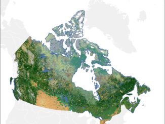
Earth Observation (EO) technologies are transforming how we monitor our planet. From climate resilience and environmental protection to resource management and industrial sustainability, EO data is providing governments, industry, and researchers with powerful insights to […]