BIM & GIS
Geomatics Through the Generations: A Fireside Conversation with Charlie Trimble and Bryn Fosberg at Expo 2025
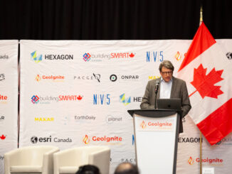
At the National Geomatics Expo in Calgary early November, a rare cross-generational fireside chat brought together three influential voices from the past, present, and future of the profession. Charlie Trimble, founder of Trimble and a […]