hyperspectral
Canadian Geospatial Briefing November 22nd, 2022
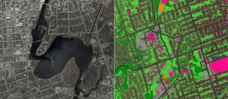
AI aims to prevent a repeat of 2004 Peterborough flood City of Medicine Hat Wins 2022 ESRI special achievement in…
Hyperspectral imagery applications in mineral exploration
Remotely sensed data has been providing insights into how the world works for decades now. From the first implementation of…
International Geospatial Briefing for August 22nd, 2022
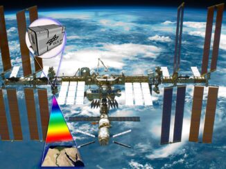
Mapping Earth’s deepest points, the collision of Geology and Geospatial ISS to get a new hyperspectral remote sensing lab A…
SpatioTemporal Asset Catalogs: Enabling online search and discovery of geospatial assets
What is STAC? STAC stands for SpatioTemporal Asset Catalog. It is a language for geospatial catalogs and assets with a…
Canadian Geospatial Briefing Nov 29: 1. Mapping Canada’s carbon landscape; 2. Satellite images of Flood in BC; 3. Royal Canadian Geographical Society awards; 4. High-speed internet for rural communities by asset-mapping; 5. Plant health beyond the naked eye
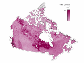
Mapping Canada’s carbon landascape WWF-Canada has conducted new research with the lead of McMaster University’s Remote Sensing Lab scientists to…
A Look at #COGS Conference in Nova Scotia: Sensors High and Low
The Nova Scotia Community College (NSCC) hosted its third annual Winter conference at the Centre of Geographic Sciences (COGS) in…
Conference: Where Geomatics Meets GeoScience
With now only one month to go until the 2nd Virtual Geoscience Conference (VGC 2016) takes place in Bergen, Norway,…
Innovative solutions for bathymetry at Oceanology International 2016
March 7, 2016 — Teledyne Optech is pleased to announce that it is taking its most powerful and flexible surveying…
Remote sensing sheds light on Earth’s surface at UVic
The University of Victoria is partnering with the province to develop new ways of using airborne sensors to gather information…
Harnessing the Power of Geospatial Information to Bolster Canada’s Health, Wealth and Security
GAC 2015 Supports the GIS Education Community Everything begins and ends with geospatial information. Now more than ever, GIS…
Optech Senior Scientist Dr. Viktor Feygels to Answer Lidar Questions at IGARSS/CSRS 2014
July 8, 2014 — Optech is pleased to announce that Senior Scientist Dr. Viktor Feygels will be at the joint…
MDA to further concept for Canadian Hyperspectral Mission
Richmond, BC – MacDonald, Dettwiler and Associates Ltd. (“MDA” or the “Company”) (TSX: MDA), a global communications and information company,…