Technology
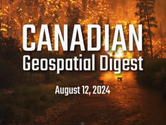
Canadian Geospatial Digest for August 12, 2024
Jasper officials publish a map and detailed list of all structures lost in the wildfire Flash floods threaten as severe landslide creates new risks near Chilcotin River Canada signs an agreement to utilize US space […]

