Community
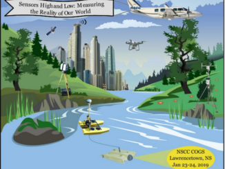
A Look at #COGS Conference in Nova Scotia: Sensors High and Low
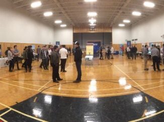
The Nova Scotia Community College (NSCC) hosted its third annual Winter conference at the Centre of Geographic Sciences (COGS) in Lawrencetown this week, January 23-24th. There were twenty presentations (see link to program and abstracts). […]