NRCAN

Significant increase in lidar-derived elevation data coverage

Significant increase in lidar-derived elevation data coverage

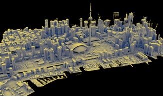
The National Elevation Data Strategy team has increased its production rate. Detailed 3D products now cover 49% more area since…

Interview: How FHIMP is Strengthening Canada’s Flood Resilience Amid Rising Climate Threats

Interview: How FHIMP is Strengthening Canada’s Flood Resilience Amid Rising Climate Threats

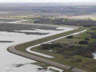
Flooding in Canada causes an average of $1 billion in damages annually, but the summer of 2024 was especially devastating,…

Harnessing Earth Observation for Resilience and Adaptation

Navigating Canada’s Climate Crisis: Harnessing Earth Observation for Resilience and Adaptation

Year 2023 now ranks as the fourth-worst year for insured losses in Canada, according to Catastrophe Indices and Quantification Inc.…

Lidar CANEX, video replay

A Big Thank You: Lidar CANEX Acknowledges Sponsors, Speakers, and Attendees

Lidar CANEX, renowned as Canada’s Commercial Lidar Expo, took place on March 26, 2024, with the workshop: “Reference System Modernization:…

NRCan workshp

Navigating the Future: The Modernization of Canada’s Spatial Reference System

Significant changes are on the horizon for geomatics professionals in Canada. Everyone involved in the fields of geomatics and its…

GeoIgnite Schedule-available online

GeoIgnite 2024 Conference Schedule Now Available Online!

It’s been five years since our last in-person GeoIgnite, so I am beyond thrilled to announce that the schedule for…

Registration for Lidar CANEX 2024 is open!

Canada’s Lidar Expo is coming to you on March 26th, including a workshop day on March 27, 2024. GoGeomatics Canada,…

NRCan joins the Expo

Natural Resources Canada (NRCan) Joins the Calgary Geomatics Expo

We are thrilled to announce that Natural Resources Canada will be joining us as an exhibitor and will also be…

Canadian Digest July 10

Canadian Geospatial Digest July 10th, 2023

Great Bear Rainforest trophy hunting tenures mapped Mapping Lake Huron Shoreline 100 years in the future The Canadian Agri-Food Asset…

NRCan is the inaugural recipient of the OGC Community Impact Award

New award recognizes OGC members who, through exceptional leadership, volunteerism, collaboration, and investment, have positively impacted the geospatial community. The…

Canada is Moving in 2025 – Canada’s New Reference Frame NATRF2022

As GPS technology constantly evolves and the North American continent deforms, a modernization of our geodetic reference frames to accurately…

Natural Resources Canada Presentation at LidarCANEX YouTube

NRCan Presents Positioning Lidar & the Canadian Geospatial Industry for the Future at Lidar CANEX 2023

Dr. Calvin Klatt, PhD, Natural Resources Canada’s Director Canadian Geodetic Survey spoke on Positioning Lidar and the Canadian Geospatial Industry…

1 2 3 9