opendata
GO Open Data 2022 (#GOOD22)
April 21-23, 2022! (Français ci-dessous) The GOOD Annual Conference will be taking place from April 21-23. The theme this year is…
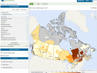
Géoclip – A geostatistical observatory software product
The Géoclip observatories are web applications for statistical mapping to promote the analysis of territorial data sets. A Géoclip observatory…
Canadian Municipalities Unlock Their Data with Esri’s ArcGIS Open Data
TORONTO—April 25, 2016—Esri Canada today announced that more than 20 Canadian municipalities have adopted ArcGIS Open Data. Esri’s cloud-based geographic…
A Refreshing Approach to Geomatics
The conference committee of the GIM International Summit has announced a refreshing list of inspiring and original speakers who will…
Speaker Series: Local Mapping at Ottawa May Social
The Ottawa May GoGeomatics Social is happening Friday, May 29, 7:00PM in the basement of the James Street Pub. This…
Future Prospects For 3D Geomatics In Canada
The future holds great promise for 3D when it comes to geomatics in Canadian education, industry and business. One might…
Geography Education: The Map is Not the App
David Lepage, in his blog for Axiom News, expresses concern for “the map is not the territory” in a community…
City of Surrey Adopts Open Data Program
The City of Surrey launched its open data program as part of its commitment to an open, transparent and accessible…