Earth Observation
Why Canada Must Step Up in Arctic Monitoring
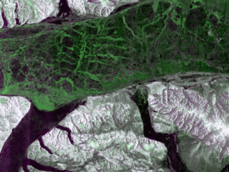
For decades, the U.S. has been a key player in Arctic monitoring. Its satellites support climate models, disaster response, and international cooperation. Now, there are signs that the U.S. may pull back. The 2026 NASA […]