railway

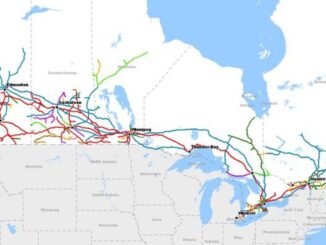
RAC launches online Canadian Rail Atlas

One hundred and fifty years after Confederation launched the idea of a railway that would unite the country, the Railway…

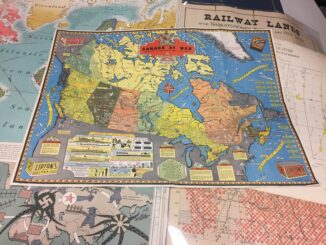
Canadian Cartography: GoGeomatics Edmonton Visits the University of Alberta Map Library & Collections

Last night the Edmonton GoGeomatics Group had the chance to explore the amazing collection of historic maps at the University…

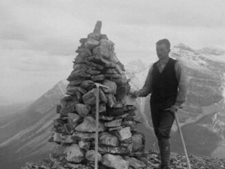
Canadian Surveyors “Remark” on History with Elk Pass Boundary Restoration Survey

The Alberta-British Columbia Boundary Commission has just completed a monument restoration survey to restore a number of deteriorated provincial boundary…

JMap provides instant access to all of the Canadian railway network’s geospatial data

K2 Geospatial, a leading geospatial software company and the editor of JMap, is pleased to announce the creation of the…

City of Lethbridge Wins Cityworks Exemplary User Award

New computer maintenance management system incorporates location intelligence in support of effective asset and work order management Lethbridge, AB –…

NRCan, GeoConnections, CGDI, & the Canadian Geomatics Round Table

GoGeomatics Canada got in touch with Natural Resources Canada (NRCan) in order to ask them about all the most recent…

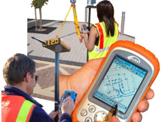
Surveying and CAD: Add GIS, Stir and Serve

When Jon Murphy asked me to write something about ‘Surveying and CAD’ this month I thought, “no problem, when do…