Newsmakers & Press Releases
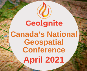
MDA Platinum Sponsor of Canada’s National Geospatial Event: GeoIgnite 2021
Canadian Leadership & Geospatial Intelligence GeoIgnite invites the geospatial community to engage with one another by sharing your work, services, and data at our third annual conference. Download the sector participation package PDF. One month […]