Technology
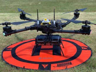
Canadian Geospatial Briefing April 26th: Ontario COVID-19 Vaccine Pharmacy Locator; 5G drones fly over UBC; AI & remote sensing for future Lac à Paul tailings dam; UBC prof uses Sim City-like program to map disease paths; Remote sensing map of Canada’s first highway to the Arctic
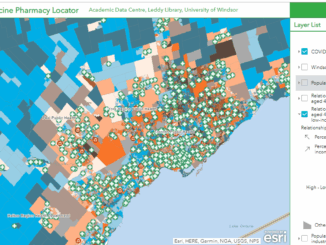
UWindsor researcher maps which Windsor neighbourhoods need help accessing vaccines Research by Carina Luo, a geospatial data analyst at the University of Windsor shows there are service gaps in vaccine availability across Ontario. Some areas […]