SAR imagery
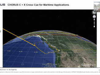
MDA Introduces Its Next SAR Mission: CHORUS
This Statellite Will Change How You See The World At the GeoIgnite, Winter Geo conference on March 2, 2022, during…
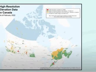
NRCAN Leading Initiative to Increase Canada’s Resilience to Flooding
Geomatic Services Playing Key Role in Initiative On March 1, 2022, Brian Perry, Engineering Advisor for flood modeling with Natural…
A Review on the Use of Deep Convolutional Neural Network in Evaluating Oceanic Oil Spills
Oil spills remain a difficult calamity to rehabilitate due in part to the imperfect nature of the responses available. Even…
MDA Announces Radarsat-2 Continuity Mission
February 2, 2021 MDA is excited to announce that the company has embarked on a major new initiative to build…
DigitalGlobe Selected to Create a Geospatial Cloud Analytics Hub for DARPA Using GBDX
DigitalGlobe, a Maxar Technologies company (formerly MacDonald, Dettwiler and Associates Ltd.) (NYSE: MAXR) (TSX: MAXR), announced today that it has…