sar

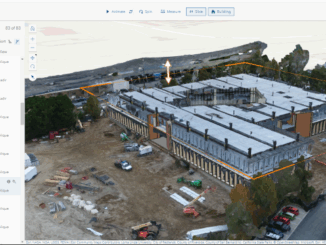
Building-height Estimation using Street-view Images, Deep Learning, and Building Footprints

Introduction Building height is an important piece of information that has various important applications such as economic analysis, urban planning,…

MDA Announces Radarsat-2 Continuity Mission

February 2, 2021 MDA is excited to announce that the company has embarked on a major new initiative to build…

PCI Geomatics presents free user group meeting on June 17th, 2019, from 1pm-5pm in Ottawa

PCI Geomatics is pleased to announce that we are hosting a free user group meeting on June 17th, 2019, from…

Devastating California Wildfires: SAR images from the Copernicus Sentinel-1

› Larger view As firefighters continue to battle the destructive Camp Fire in Northern California, the Advanced Rapid Imaging and…

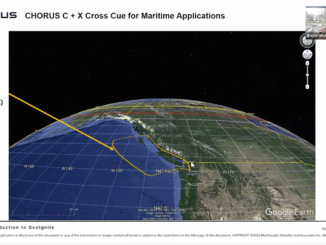
MDA to deliver mission-critical SAR information for maritime surveillance

Richmond, BC – MDA, a Maxar Technologies company (formerly MacDonald, Dettwiler and Associates Ltd.), (NYSE: MAXR) (TSX: MAXR), today announced…

Your Global Geospatial Briefing for September 25th: Geospatial cloud; UK satellites; Geo Week; drone technology; AI dam repair projects

Where are the Geospatial clouds?  Will Cadell of Sparkgeo is often asked about geospatial platforms. Clouds are a great low…

Montréal: Joignez-vous au Sommet d’Observation de La Terre le 20-22 juin 2017

En tant que diplômé récent du Fleming GIS programme, j’ai eu la chance d’aller à Montréal pour assister au Sommet…

May 5: Vancouver: NRCan Discovery Centre Science Open House

Come talk to scientists in Canada’s oldest science agency at a Canada 150 Open House.  Visitors can check out over…

Montreal: Join me at the Earth Observation Summit June 20-22, 2017

As a recent graduate of the Fleming GIS program I jumped at the chance to attend the Earth Observation (EO)…

Free Satellite Imagery For You: Sentinel 1 & 2

Sentinel constellations and data products As the ENVISAT program is coming to an end, the European Space Agency has begun…

CANMAP, and SHIFTing gears at COGS

At the end of last month, John Wian hosted the Annual General Meeting (AGM) of the CANMAP Research Institute in…

QGIS: Performing Viewshed Analysis on Archaeological Sites

In 1927 a Vancouver bylaw was enacted that limited the height of buildings to a maximum of six stories in…