Magazine
Adapting Canada’s Geospatial Partnerships to a Shifting Landscape
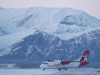
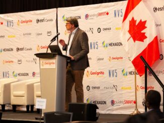
How changing international relationships create new opportunities for technical collaboration Last year, in my keynote at GeoIgnite 2025, I spoke about how Canadian geospatial innovations can tackle environmental problems. I mentioned, for instance, RADARSAT’s Arctic […]