Timelapse
International Geospatial Digest for Oct 14, 2024
Digital Twins: The EU’s Answer to Climate Change? Google Earth Brings WWII History to Life with New Imagery China’s Nuclear…
Canadian Geospatial Briefing Sept 20th: Interactive Election Map; MDA awarded with contract for Martian Moons Exploration with Japan Aerospace Exploration Agency; Geomatics Instructor at BCIT uses Drone to Display Elevation Changes at Construction Site; Looking at Foot Traffic in the Downtown Core of Major Canadian Cities Compared to Pre-Pandemic Levels; Apple Maps using Special Backpacks to Gather Data for Look Around Feature
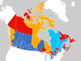
Interactive: How Canadians voted in the past 7 federal elections With the federal elections coming up on September 20th, Esri…
International Geospatial Briefing May 3: Growing problem of deepfake satellite images; Bird migration map shows huge influx into Michigan; Google Earth timelapse visualizes human footprint; Remote Sensing to study chimoanzees; Mapping of childhood undernutrition in India
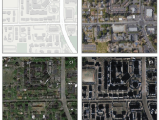
False satellite images created by machine learning raise concerns about the reliability of data AI technologies has been used to…
How Remote Sensing Applications Will Help Put a Price on Carbon
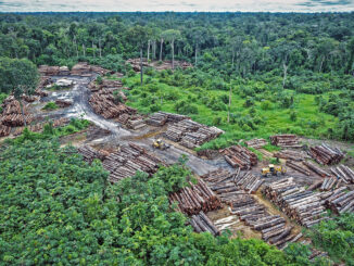
Quantifying our Resources Advances in remote sensing are pushing forward our abilities to quantify natural resources. As satellites improve, offering…