UK
Digital Twins 2023 Virtual Conference Is Coming Your Way
The Digital Twins 2023 Conference aims to make the world a better place. Innovation, investment, and location intelligence lay the…
Geospatial Commission Demonstrates How To Apply Real Data To A Data Model
Preparation begins for NUAR rollout to selected areas. Amy Manefield, Head of Data Operations for the NUAR project sponsored by…
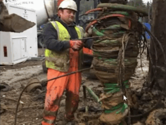
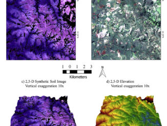
International Geospatial Briefing March 8th: Geography, a cause for inequality; Drone Survey of a Wind Farm Access Road; Loss of soil study using satellite imagery; Japanese noisy children map; Minority-owned businesses map
Geography can become a root cause for inequality when cities are built in a way that fragments social networks A…
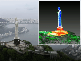
International Geospatial Briefing Jan 26th: Sentinel Hub Script Contest; Google AI powered Tree Canopy Lab; Lidar on the iPhone 12 Pro; 3D Laser Scan using SLAM and UAV; 5,500 public sector organizations’ access to local data
Sentinel Hub Custom Script Contest Sentinel Hub is a platform that everyone can explore earth observation data with a free…
International Geospatial briefing for 30th November: Mapping the Ocean floor; Geospatial COVID-19 Vaccine distribution; Sydney beaches drone monitoring; UK Map sales soar; Software without Geospatial power has lost the plot.
Which Countries are Mapping the Ocean Floor? Significant progress has been made in Earth Observation around the world. Thousands of…