underground mapping
International Geospatial Digest for August 19, 2024
UZMA signed agreements with government authorities and organizations to enhance Malaysian geospatial services. UniSQ use geospatial data to help better…
OGC Presents Integrating and Sharing Underground Information with MUDDI: SUMSF 2023
On May 16, 2023, during SUMSF 2023, Joshua Lieberman, Director of Innovation Programs at the Open Geospatial Consortium (OGC) presented…
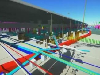
Deep Learning-Based Underground Digital Twins: Scan to BIM at SUMSF 2023
Bringing information from around the world, Dr. Vincent Fan, Lidarist Company Limited, Chief Technical Officer, Leo Kwan, Lidarist Chief Executive…
SUMSF 2023 Workshop Introduces The Geoff Zeiss Urban Infrastructure Mapping Fund
Geoff Zeiss devoted his life to the Geospatial Industry and beyond, for over 30 years. He focused on the construction…
Carrying on the Legacy: SUMSF 2023 Call for Sponsors, Speakers, Workshops
Call for sponsors, speakers, and workshops! The Subsurface Utility Mapping Strategy Forum (SUMSF) 2023 is coming to you May 16-18, 2023. …
Announcing Subsurface Utility Mapping Strategy Forum (SUMSF), Mar 22-23, 2022
The Subsurface Utility Mapping Strategy Forum (SUMSF), Mar 22-23, 2022 is a virtual conference that brings together individuals and organizations…
International Geospatial Briefing Dec 6: 1. GPR Painting New Pictures of the Past; 2. Satellite Imagery to Support Clean Water for All; 3. Summer Heat and Environmental Inequality in Albuquerque; 4. Remote Sensing Keeping an Eye on Deforestation; 5. Educating a Skilled Geospatial Workforce in Somalia; 6. Announcing The Virtual Subsurface Utility Mapping Strategy Forum Conference
Ground Penetrating Radar Providing New Insights for Archaeologists New applications of ground penetrating radar (GPR) are allowing archaeologists to gain…
Announcement – Canadian Underground Forum (CUF): Advances in locating and mapping underground infrastructure event launches at GeoIgnite this April
Join Canadian leaders at GeoIgnite 2021 for the inaugural Canadian Underground Forum (CUF) that will explore issues and technologies around…
GeoIgnite 2020 Track Announcement: Mapping the Underground Summit
Track Chair: Geoff Zeiss GeoIgnite 2020 is excited to announce that Mapping the Underground will be an official summit within the…
Your International Geospatial Briefing for January 13th: US Restricts Export of AI Related to Geospatial Imagery; Momentum Grows During Preparation for Geo Connect Asia 2020; UofG Students Killed in Iranian Plane Tragedy; BIM: How Important Is It For General Contractors?; Elements for improving underground utility mapping to reduce risk of damage during construction
US Restricts Export of AI Related to Geospatial Imagery On January 3rd 2020, the U.S. Bureau of Industry and Security announced…