University of Alberta
Canadian Geospatial Digest for April 29th 2024
The Alberta team’s research map shows the health impact of climate change By 2100 Lower Mainland will lie below annual…
Canadian Geospatial Briefing July 4th: 1. Carbon soil mapping 2. MDA and NGO for combating illegal fishing 3. Indigenous mapping workshop 4. Deadly Skin Cancer map 5. Mapping Bicyclists’ Greatest Dangers
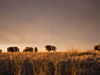
Carbon soil mapping project aims to help beef producers trap carbon, fight climate change “Our grassland soils hold large amounts…
Canadian Geospatial Briefing Feb 1st: Canada’s first Agric Technology degree; U of A maps out uncharted Territory for Owls; Data from space could protect endangered Whale species; Canadian company producing low-noise drones; Mapping Kelp beds along Pacific coast.
Lakeland College Launches Canada’s first degree in Agriculture Technology Lakeland College is starting Canada’s first degree in agriculture technology in…
Your Canadian Geospatial Briefing for Sept 22: First woman to head CSA; Polar Bears’ GPS Collars Reveal Hidden Histories; Data Crisis in Covid-19; What Would The Impact of the Beirut Explosion Look Like on Maps of Canadian Cities; Should You Get a GIS Certification?
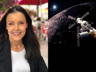
Lisa Campbell becomes the first woman to head the Canadian Space Agency – CBC The Government of Canada announced earlier…
Further your Geospatial Education with these Online Programs
It’s that time of the year – back to school! This used to mean physically entering the classroom for most…
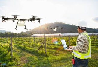
Your Canadian GeoSpatial Briefing for May 14th: Arctic receiving station blocked by Canadian red tape; Mapping Services in Edmonton; Smart Cities Challenge; University CubeSat Projects; Great Canadian Geography Challenge; Calgary’s Empathic Cultural Map; GIS4Ag
Canadian Red tape costs industry millions Norwegian company Kongsberg Satellite Services (KSAT) has been waiting since 2016 for Ottawa to…
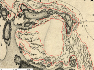
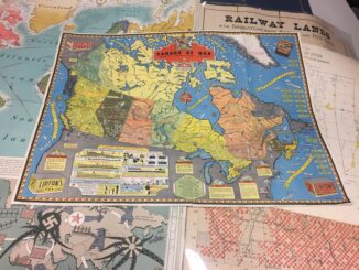
Canadian Cartography: GoGeomatics Edmonton Visits the University of Alberta Map Library & Collections
Last night the Edmonton GoGeomatics Group had the chance to explore the amazing collection of historic maps at the University…
Georeferencing Scanned Maps Using QGIS
One of the passions of modern day information technologists is to convert the past to digital form and to put…
Elephants, Tigers and Bears: Edmonton January Social
Elephants and Tigers and Bears! Oh My. Flying Monkeys! Seriously. Come out to the Edmonton January Social January 21 at…
2016 Canadian Geomatics Events & Conferences
This is our list Canadian geomatics conferences and events for 2016. Here you will find events pertaining to GIS, remote…
Opinion: Canada Doesn’t Have Too Many GIS Programs
Are there too many GIS post-diploma programs and University GIS certifications in Canada? In the late 1980s, the prevailing notion…
Buzzing about the GoGeomatics Back to School Socials
The GoGeomatics Back to School Socials are taking place September 24th, 26th, and 27th. “These networking events are a fantastic…