Community
One of the Best Geomatics events in Canada: GeoAlberta 2017
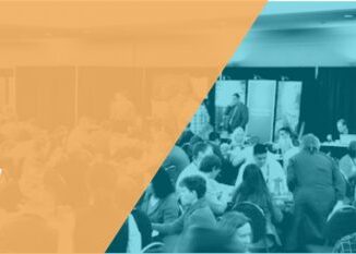
I had a chance to attend the 2017 GeoAlberta conference earlier this month in Calgary, Alberta. This was my first geospatial event and I had heard from Jonathan Murphy, the Managing Director of GoGeomatics, that […]