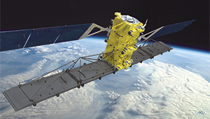
WorldView-4

RADARSAT-2 injured and WorldView-4 down

Canada’s only operational radar satellite has just lost its gyroscope, and the WorldView-4 satellite is down for the count. Maxar’s…

High Resolution Mapping Along the Coastal Zone Workshop

Event Recap: COGS & CIG & GANS Cooperate for Mapping Workshop

The Canadian Institute of Geomatics (CIG) Nova Scotia Branch and the Geomatics Association of Nova Scotia (GANS), two regional professional organizations that foster the application of geographic information within the geomatics sector recently collaborated to host a high resolution mapping workshop at the Centre of Geographic Sciences (COGS) in Lawrencetown, Nova Scotia.

Countdown to Launch: DigitalGlobe’s WorldView-4 Earth Imaging Satellite

Final preparations are underway at Lockheed Martin to ship DigitalGlobe’s WorldView-4 earth imaging satellite to Vandenberg Air Force Base for…

MDA to provide multiple international ground stations with direct access to DigitalGlobe’s WorldView-4 satellite

Richmond, BC – MacDonald, Dettwiler and Associates Ltd. a global communications and information company, today announced that it has signed…

First images taken with Exelis system on DigitalGlobe’s WorldView-3 satellite released

DigitalGlobe has released the first images taken with the Exelis-built (NYSE: XLS) integrated, super-spectral imaging system on the WorldView-3 satellite,…