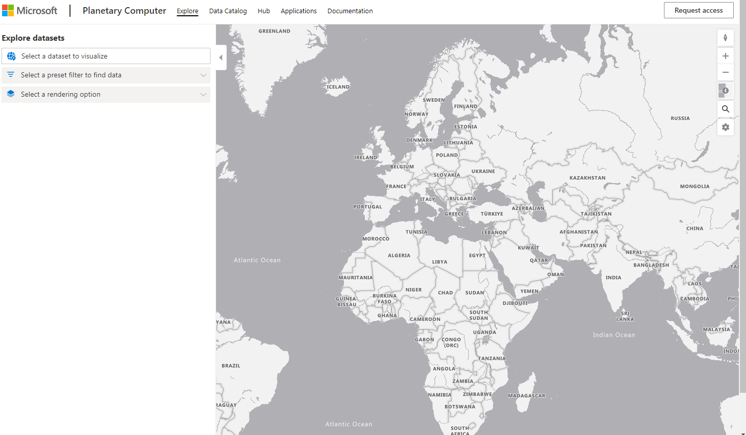
Microsoft has developed an online, open-source tool called The Microsoft Planetary Computer. One of the many struggles when performing geospatial analysis on a global scale is the sheer volume of data, and the processing power required to harness it. The Planetary Computer platform has four key elements that aim to put the power of cloud computing in the hands of users with sustainability goals. These include: the Data Catalog, which stores thousands of terabytes of freely available data from different environmental systems; APIs (application programming interfaces) that allow for intelligent searching of this vast warehouse of data; the Hub, which is a fully managed computing environment for scientists to use and process these large geospatial datasets; and applications that partners have built utilizing the platform for various sustainability efforts.
The Data Catalog exists because of relationships built between data providers that capture and generate data and make it available to the Planetary Computer. In addition to being an access point to these datasets, the APIs make it easier to work with the data. Instead of needing to know and understand the unique framework and structure for each unique dataset, APIs allow users to search data for high level concepts, such as date ranges and extents. This user-friendly feature cuts out time spent parsing new and unfamiliar datasets and allows for more time spent on analysis and interpretation. You can explore the datasets available in an interactive map here.

The computing environment (the Hub) provides customization options to tune the computing power, and the software environment you use. Some options currently available include a Python environment with 4 cores of computing power, an R environment with 8 cores of computing power, a preview of a QGIS module that offers 4 cores, and a few others. This development hub allows for a scalable environment for interacting with large and complex datasets, such as satellite captures, time-series datasets, and more that the desktop GIS environment has struggled to keep pace with. Some rudimentary understanding of the file system is required to successfully use this tool, and as such it utilizes the Conda environment which has ample resources and documentation for reference.
Perhaps the most interesting element of the Planetary Computer is the hundreds of ready to use analysis tools that leverage the data catalog and provide lite-weight access to analysis on the web. On such tool from Esri aims to glean insights on land cover change by using the Sentinel-2 Land Use/Land Cover data that is hosted in the Planetary Computer. The analysis is available for viewing in an interactive web map here. Additionally, Esri is a partner in the Planetary Computer network and brings hundreds of geospatial analysis tools previously only available within desktop software (ArcGIS Pro) to a cloud computing scale.

CarbonPlan is actively utilizing the Planetary Computer to evaluate forest-based climate solutions, aiming to study past and future carbon offsetting projects to promote options with the best outcomes. This kind of data-driven decision making will be imperative for our planet going forward. You can view their analysis here.
Pearl, a landcover mapping application, aims to provide landcover maps in minutes by using machine learning models to rapidly analyze satellite images within an area-of-interest. The tool gives you the option to draw live on the screen, or upload .geojson files for predefined areas. The application offers different segmentation models depending on the region your area is located within. This kind of tool will be incredibly exciting for anyone who has had to perform image classification on high resolution orthophotography in a desktop environment. Hours and hours of processing time will soon be a thing of the past as these kinds of cloud capable tools expand. Results from Pearl can be exported to geotiff and used in other tools or mapping software as well. While not available for the entire globe yet, Pearl is an exciting window into the future of large-scale image classification. You can experiment with the tool here.

The Microsoft Planetary Computer is an emerging tool with seemingly endless applications in our world of ever growing data capture. Currently in preview mode, the platform is looking to expand its partner and development network to bring more data and tools to the web. You can apply for access currently by writing about your project and how you plan to use geospatial data.


Be the first to comment