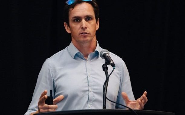
Will Cadell, founder and CEO of Sparkgeo, hosts keynote presentation
Will Cadell is the founder and CEO of Sparkgeo, which focuses on providing geospatial expertise. With a focus on earth observation and geospatial analytics, Cadell is taking his experience and using his keynote address as a call to action against climate change.
“My presentation is called planetary scale. What I’m talking about [during the presentation] is these two scenarios – which are complementary. One is that we are being faced with global challenges, whether it be global supply chain challenges, climate change, pandemics; these are challenges that are overtly geographic, but broadly affect our planet. At the same time, we’ve been blessed with technologies which can actually support planetary scale analysis, to allow us to understand how to approach some of these problems,” said Cadell. “We may not get the solutions themselves, but [it can] allow us to monitor and measure our changing planet in such a way that we can create meaningful solutions or meaningful policy… It’s a call to action for the geospatial community to start thinking globally.”
From his presentation, Cadell hopes people take away how important technology is to the community. He says that some technology did not even exist 10 years ago, and there are many complementary assets like the cloud, smart devices and more which have empowered the geospatial community and has given them the ability to do more.
Cadell says it is important for the geospatial community to take action against climate change because they’re one of few that can be deeply involved in the solution to planetary concerns.
“There isn’t a community that understands landscape change light the geospatial community should. But we really need to get off our arses and actually do it, and actually think about it. [We need to] implement the solutions, think in the planetary way, build scalable technology, and deploy it.”
In addition to his presentation, Cadell says he will be involved in a workshop later in the conference.
When he’s not presenting himself, Cadell hopes to hear how others in the community are thinking about change.
“Instead of thinking about maps, and pixels and data, I would like us to be thinking more about change. I think change is the core product for earth observation. I don’t think we should be thinking about the way we capture change; we should be thinking about the change itself. [We must] try to understand why that change is happening, how we can measure for that change, and how we can protect ourselves as a population against particular catastrophic events.”
Cadell will present his keynote on March. 2, at 10 a.m. EST.
Register here to claim your free ticket to the live stream.


Be the first to comment