GeoIgnite 2021, Canada’s Largest Geospatial conference is just around the corner! This year, the conference is being held online, so everyone can safely participate. If you haven’t gotten your free tickets yet, go register now! And if you’re on the fence and wondering why you should attend, read on, because we’re highlighting 5 great reasons.

1. It’s the best Geospatial Conference in Canada
This event is Canada’s largest and most popular geospatial conference. Top companies and professionals will be there to present ideas, share data, and more. This is the biggest event in the community and a great opportunity to learn and network, so you won’t want to miss it, especially since it’s online this year!
2. Hear from Canada’s top government and industry geospatial leaders
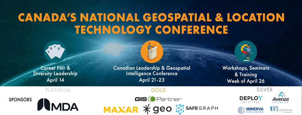
A lot of large Canadian industry leaders are coming to GeoIgnite and there will be panels and talks from executives and representatives of these companies, so if you want to hear what they have to say and gain insights into the industry, this is the perfect opportunity. Hear from sponsors MDA, MAXAR, GIS Partner, SafeGraph, SparkGeo, Avenza Systems, Deploy Solutions, Minerva Intelligence, and Nv5.
Some other organizations present include Stats Canada, Agriculture and Agri-Food Canada, the CSA, Environment and Climate Change Canada, the Governments of Ontario, Nova Scotia, Northwest Territories, and the City of Montreal, and more.
3. Groundbreaking Location Technology
This conference is the place for new and innovative technology to be explored and presented. You will learn about all the latest and exciting technology used here in Canada and how it’ll take geointelligence to the next level in years to come.
4. World class geospatial workshops
There are going to be a lot of extremely informative and interesting workshops being put on by some of the country’s brightest minds and companies. Here are a few:
- GIS Project Management Practices
- Introduction to SAR/EO Products Workshop, Hosted by MDA
- Drone-derived data and geomatics quality and accuracy standards Summit
- Canadian Cartographers Workshop
- Using software to prepare for Climate Change impacts and natural disaster: Deep Dive on our research findings and software prototype
5. Live Q&A and Slack community
Since this event is being held online, it makes for better audience involvement. A lot of panels will have a Q&A section where you can get more info, start conversations, and more, all without having to run up from the back of a lecture hall. There’s also a great Slack community you can join to interact with people.
BONUS Reason #6 to Attend!
It’s free & Bilingual! Register Now!
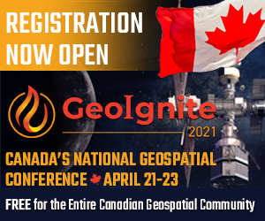
This year, we’re so happy to announce that the conference is free for members of the geospatial community. This event is a celebration of Canada’s thriving geospatial community and a place to grow even more, so now you can join in for free!
It will surely be an exiting and informative few days, and we know you’ll greatly benefit from attending. We’re so excited to bring the community together in this way. Browse our panels and get your tickets now.


Be the first to comment