
The GeoConnect Society hosted their annual GIS conference in Burnaby British Columbia recently. The GeoConnect Society, formally known as URISA BC, is an organization that seeks to foster engagement between members of the GIS community in British Columbia. The theme of this year’s GeoConnect Conference was GIS and Digital Transformation, where presenter discussed topics including 3D modelling, LiDAR and photogrammetry, the role of AI in geospatial analysis, data governance and many other interesting topics.

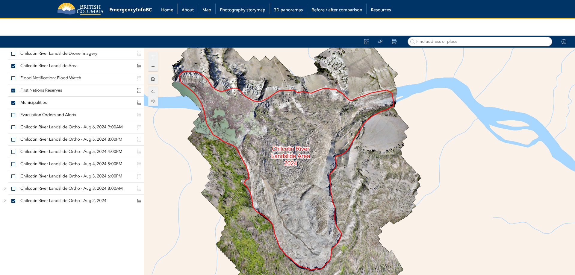
Chilcotin River Landslide Information Portal
The first presentation was led by two representatives from GeoBC, Michael Dykes (Geospatial Services Coordinator) and Ella Li (Geospatial Analyst). Michael and Ella discussed the Chilcotin River Landslide Information Portal, an online resource with information about the July 2024 landslide and blockage of the Chilcotin River. The Information Portal contains a wide variety of applications such as a Situational Awareness Map, a 3D panoramic of the landscape and a photography collection, including before and after picture of the area. Michael and Ella ended their presentation by discussing some of the web development practices used in creating the Information Panel.
Using Photogrammetry-Derived Point Clouds in Flood Risk
The next set of presenters included Ben Humphreys (GIS Analyst) and James Ellis (Geomatics Technologist) from Northwest Hydraulics Consultants (NHC), along with David Cassidy (Lands Manager) from the Nisga’ Lisim Government. Ben, James and David discussed NHC’s flood assessment work within Nisg̱a’a communites. As a part of Nisga’a Nation’s response to climate change, NHC was hired to carry out a flood risk assessment in three of the Nation’s villages. By combing drone-captured LiDAR data with ground-level photography, NHC created 3D models of village buildings to help determine flood risk. During the question period, several attendees raised interesting questions about machine learning and the role of big data in geospatial analysis.
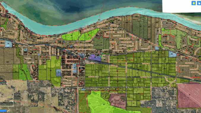
Maprosoft: Innovating Municipal Services with GIS and Microsoft Technologies
Following the first coffee break, Reno Sun (Manager of IT & GIS) discussed the role of GIS within the Town of Qualicum Beach. By integrating GIS and AI into their municipal operations, the Town of Qualicum Beach has improved the efficiency of three of its core services: the tree removal permitting system, a town development tracker and a municipal public inquiry system. An interesting topic discussed during Reno’s presentation involved privacy issues associated with AI integration within public government systems.
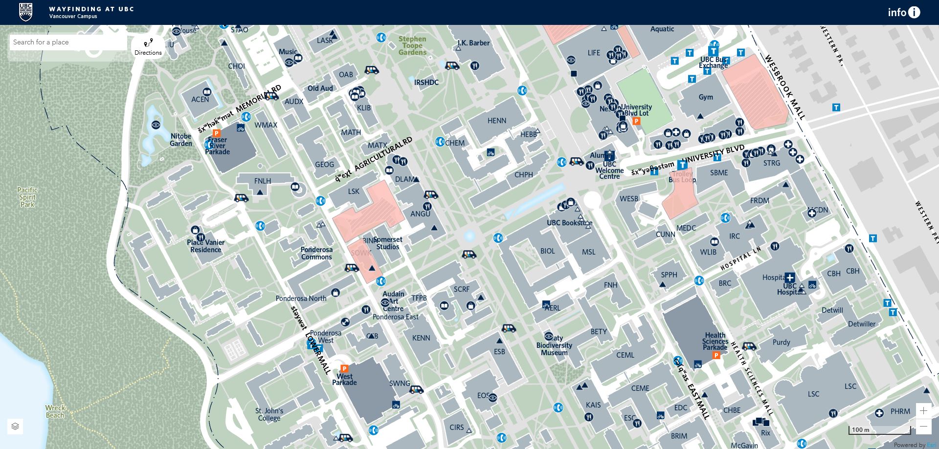
University Campus Navigation for All: Wayfinding at UBC
Following Reno’s discussion, Rachel Wiersma (Manager, GIS and Data Systems) and Tom Lavery (GIS Analyst) spoke about the University of British Columbia’s navigation wayfinding tool, which is helping students, staff and other members of the public find their way around the UBC Vancouver and Okanagan (Kelowna) campuses. The wayfinding application, which is available through UBC’s website, allows users to locate the shortest walking and cycling routes around campus with a high level of precision. This application, which leverages FME and ArcGIS products, places significant emphasis on accessibility, allowing users with mobility concerns to find the most efficient route between buildings considering both appropriately sloped paths and accessible entrances.
Towards NG9-1-1: BC Aggregator Trial Summary
After lunch, Rob Darts (Senior Manager, Application Services) from E-Comm-9-1-1, Brittany Bourdages (GIS Analyst) from the ICI Society and Joy Sinnett (Section Head) from GeoBC Atlas at the Province of British Columbia discussed their role in helping to modernize the 30-year-old 911 emergency system. Rob, Brittany and Joy discussed the technical components of a BC aggregation trial which sought to examine whether GIS data managed by several groups across multiple jurisdictions could be utilized in building a modern 911 emergency system. The findings of the study showed great potential for this type of data aggregation.
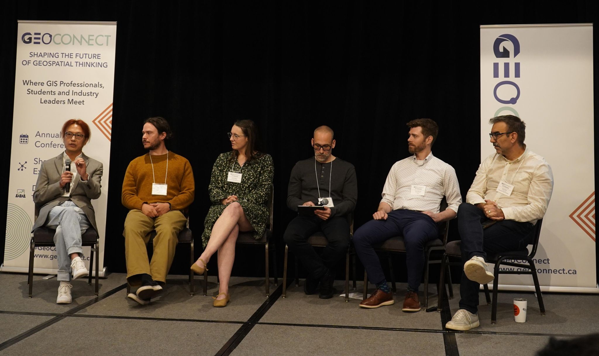
Panel Discussion
Serving as a break from a day of presentations, the “GIS Industry Peers” answered GIS related questions submitted by audience members. There were a wide range of topics including the future of AI and GIS, developments of GIS tools, knowledge gaps within the GIS industry and governance and management related concerns. One notable question asked the peers to discuss their ideas for resisting the monopoly held by Esri over the GIS industry. This was a mildly awkward moment, as Esri Canada was a major sponsor of the event and had staff members in the audience.
Unlocking and Diving into Spatial-Enabled Data Lakehouses
Following the final coffee break, John Galambos (Senior Programmer) from the City of Vancouver gave a highly technical discussion on data lakehouses and their role in GIS application. A data lakehouse is a mixture between a data warehouse (a structured form of data storage) and a data lake (a less structured form of data storage), which combines the benefits of of both data structures. A data lakehouse functions on a three-tiered medallion system, where bronze, silver and gold standards of data processing are applied. The benefit of this tiered system is that less processed data in the bronze tier can be stored alongside highly processed data in the gold tier, helping to meet the needs of users with different data quality and timeline requirements.
Transforming Big Data into Actionable Insights: A Journey in Digital Transformation
The final presentation was led by Naz Ali (Senior GIS Manager) and Jason Lin (GIS Associate) from CBRE Canada. CBRE works with highly detailed location-based data, which is acquired through cellular applications. While this type of data is challenging to analyze, if it managed properly, it provides crucial location and movement data to a variety of organizations such as retailers and tourism operators. To demonstrate the power of this highly detailed data, Naz and Jason shared general data insights about visitors at the hotel hosting the conference.
Until Next Time:
This year’s GeoConnect conference was an engaging display of the varied and complex GIS development and applications taking place throughout British Columbia and beyond. This conference brought together seven groups of presenters and one panel to share ideas and future developments in the field. These presenters and panelists, along with a spectacular lunch, made for an exciting and enjoyable day of “everything GIS”.


Be the first to comment