Giant Indigenous Peoples Atlas floor map
Canadian Geographic created a giant floor map to accompany an Indigenous Peoples Atlas of Canada to aloe the population to look at the country differently.
This map contains no provincial boundaries, no current names of cities or towns. Instead, this map outlines the different Indigenous communities across the country of Canada.
Giant Indigenous Peoples Atlas floor map will change the way you see Canada
How one cartographer is helping Indigenous communities put themselves on the map
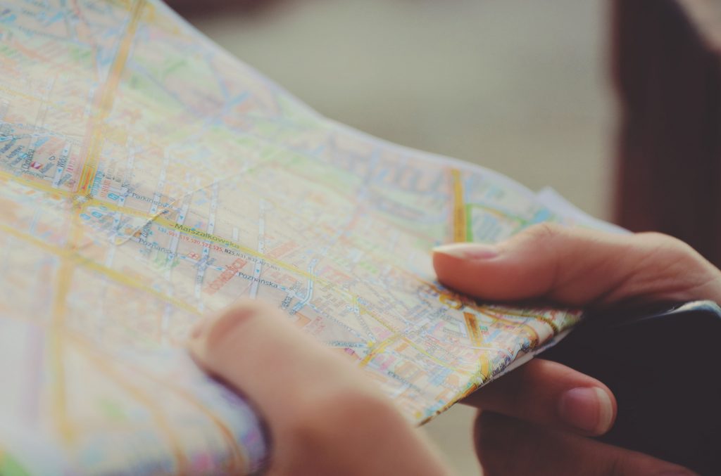
Most individuals living on indigenous reserves and other remote areas are unable to find their homes and communities on Google Maps and Google Earth. That all changed in June 2017, when Google added over 3,000 Indigenous lands to those sites.
Much of the data used to map Indigenous lands came from Natural Resources Canada. This allowed the allocated lands to be outlined through the Indian Act and reserve system.
How one cartographer is helping Indigenous communities put themselves on the map
Mapping Missing and murdered Indigenous women and girls
“An Indigenous cartographer is using mapping as a way to tell the stories of missing and murdered Indigenous women and girls.”
It is interesting to learn the perspective of others and see beyond the use of cartography as a mere data tool, but as a healing process, and a means to tell a story.
Mapping MMUWG: Cartographer calls workshops a healing tool for communities
Whose land is it anyway?
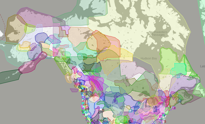
There is an interesting new website and mobile app that allows users to search communities and treaties of traditional Indigenous communities for Canada and the USA. Instead of telling its users where they are, a new map-based app lets them know what where they are used to be using a web based map.
The websitecalled “Whose Land” features interactive maps showing the proliferation of Indigenous communities in North America, past and present.
We are used to going on a map and see where we are or where we want to go. Rarely do we go on a map and look to see where we use to be.
One map shows Indigenous communities’ traditional territories and boundaries before the European settlers. It allows history to be taught and shown in an interactive and educational way.
Whose land is it anyway? Free app focuses on Canada’s Indigenous history
Google Earth features B.C. Indigenous language in new audio series
On August 9th, 2019, Google Earth released a new Voyager story that plays sound clips of Indigenous speakers.
This application combines visualization with geospatial storytelling. To create the Voyager story, they worked with students from Ladysmith Secondary School to create audio recording of yutustanaat.
Google Earth features B.C. Indigenous language in new audio series


Be the first to comment