The next paradigm shift in geospatial
Geospatial solutions have changed the construction and surveying industry. This is evident by the increased rate of productivity, due to automation in the geospatial industry. The latest advancements in technology have produced more powerful surveying tools, making the quick construction of great architecture possible. Lastly, geospatial tools are no longer just for those who have gone through many years of training. Recent geospatial tools have become easier to grasp and are more user friendly.
https://www.geospatialworld.net/blogs/the-next-paradigm-shift-in-geospatial/

Collecting the Maps of the Coronavirus Pandemic
Laura Bliss from CityLab interviews John Hessler, a specialist in modern cartography and GIS at the Library of Congress.
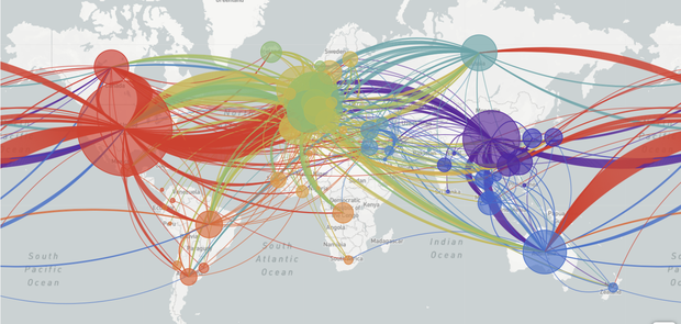
Hessler, has been collecting the maps of the coronavirus pandemic and through this, he has noticed how mapmaking has advanced. The field of cartography has become very popular and many maps have even been produced using information gathered from social media.

GIS mapping now more relevant than ever
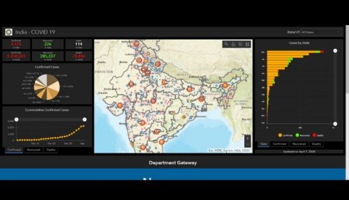
GIS is being used as an effective mapping and analysis tool during the COVID-19. ESRI developed a dashboard providing timely and accurate location information. Government agencies such as, WHO and CDCP, are using ESRI’s GIS technology to help make decisions and plan various measures to control the spread.
GIS is also being used by investigators for contact tracing and by Epidemiologists to monitor the spread of the virus. Policymakers are using GIS to evaluate existing facilities and to increase healthcare capacity where needed. Additionally, GIS maps are utilized as a means to communicate information on current cases and where the nearest authorized testing centres and quarantine centres are located.
Beyond this pandemic, the use of GIS in the health sector is predicted to continue.
Three Predictions for the Geospatial Industry by 2025
The geospatial sector has significantly advanced over the last several years. The next five years is expected to progress at an even greater speed.
Anand Iyer, Senior Vice President of Innovation and Development at Quantum Spatial predicts that improvements in remote sensing and new tools, and consolidation in the drone industry will fundamentally change the geospatial sector we see today.


Be the first to comment