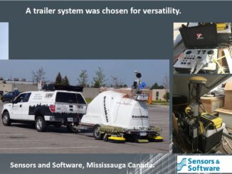
3D data
Progress in the UK toward a digital twin of the underground
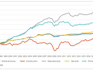
Productivity Growth – Output per worker (1997=100) Source: ONS Construction productivity is a challenge in the world’s advanced economies. Globally, labour productivity growth in construction has averaged only one percent a year over the past […]