Between the Poles – The Geoff Zeiss Archives
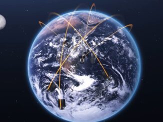
Nanosatellites and drones represent a paradigm shift in measurement of methane emissions
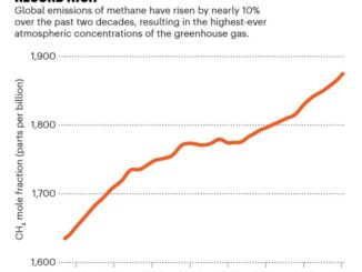
Annual emissions of methane (CH4) have risen by almost 10% in the past two decades. The primary sources of methane are the oil and gas industry and agriculture, in large part from livestock. Methane emissions […]